
Hiking Around Las Vegas, Red Rock Canyon National Conservation Area

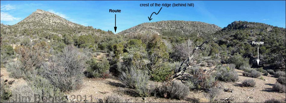
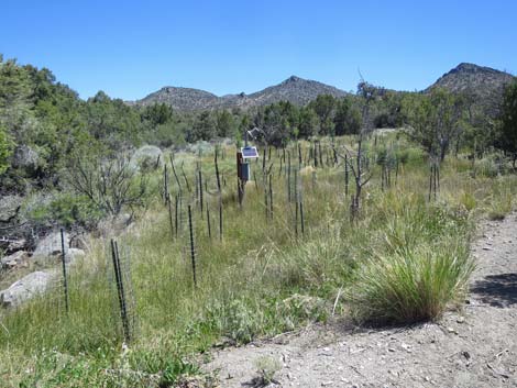
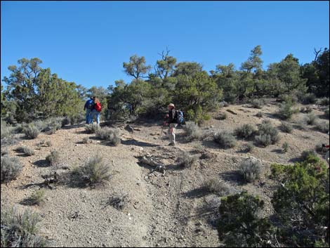
For much of this hike, it is hard to see the route ahead. Use this photo to recognize the three hills, between which the route winds eastward. The first turn out of the wash (Wpt. 07) is over the skyline.
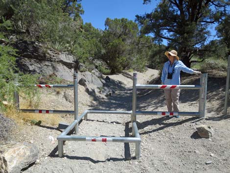 Fence at trailhead (view E) |
Overview This fairly strenuous, 6-mile round-trip hike is located on the west side of the Red Rock Canyon escarpment and is accessed from the west side of the Spring Mountains. The hike starts near Rainbow Spring at the edge of the Rainbow Mountain Wilderness Area (5,500 ft) and heads east to the crest of the mountain range, entirely within the Pinyon-Juniper Woodland zone. Following the crest south to a highpoint (6,300 ft), the route then descends into Little Zion, or "the Park," at about 5,900 ft. Little Zion is a broad area of slickrock sandstone and ponderosa pines that feels much like higher-elevation parts of Zion National Park. A long, mostly free-standing arch lies against the north wall of the Park. Link to map or elevation profile. |
 |
Watch Out Other than the standard warnings about hiking in the desert, ...this hike is fairly safe, even for kids, as there are essentially no falling hazards or other unusual hazards. While hiking, please respect the land and the other people out there, and try to Leave No Trace of your passage. Also, this hike is in a remote area, so be sure to bring the 10 Essentials. This route is in designated Wilderness, so please pay particular attention to respecting the land. |
 |
Getting to the Trailhead This hike is located in Red Rock Canyon NCA, but on the west side of the Spring Mountain Range. From town, drive out Highway 160 towards Pahrump. Drive west over the mountains. About 3 miles past the town of Mountain Springs, turn right onto Lovell Canyon Road and drive north for 1.0 miles to the dirt Rainbow Spring Road (no signs) on the right. Drive to the end of the road, or at least to where it is blocked by narrows and boulders. Park here; this is the Rainbow Spring Trailhead. |
 |
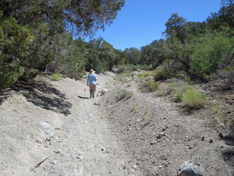
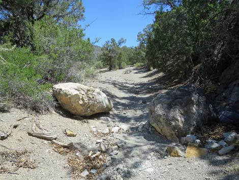
The Hike From the trailhead (Table 2, Waypoint 01), the route follows the old road eastward past boulders in the wash and through a short, narrow canyon. The canyon opens shortly, and water from Rainbow Spring may flow in the wash. At the first opportunity (Wpt. 02), the route turns right out of the wash following the old road. Before turning out of the wash, it is worth the short walk up to Rainbow Spring (Wpt. 03) where flowers bloom and Northern Pacific Treefrogs sing during springtime. |
 |
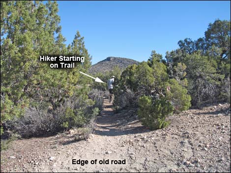
The route continues east on the dirt road (ATV trail) to a well-preserved agave roasting pit (Wpt. 04). The main ATV trail curves to the south, and a side road makes a loop around the top of the agave roasting pit. At the top of the loop (Wpt. 05), an unsigned use-trail cuts north-northeast through a slot between low-growing single-leaf pinyon pines and Utah juniper trees. There seems to be a maze of little roads in the area where ATVs are being driven illegally all over the place, so look carefully for the use-trail; it is well used and clearly obvious on the ground. The route follows the use-trail for only 0.16 miles. The use-trail winds around a draw, then climbs over a low, rocky ridge of exposed limestone rock where hikers pass under the branches of an upright pinyon pine. About 50 ft past the ridgetop, the use-trail intersects a wash with a low, limestone cliff on the far side (Wpt. 06). |
 |
The use-trail continued ahead, bending around the left side of the limestone cliff. However, the route turns right and follows the wash, heading upstream to the southeast. The wash runs southeast, then bends to run northeast. The route is so heavily traveled that a well-developed use-trail in and along the wash can be followed much of the way. However, while parts of the wash are fairly open, much of it is a narrow ditch with trees above that make it hard to see the landscape and determine where the route goes. This makes it hard to determine where to eventually turn out of the wash (see panorama photo below text for an overview photo of this area). After following the wash for 0.79 miles, the walls of the ditch pinch in and dark limestone bedrock is exposed. Growing on the limestone is an extensive colony of Mat Rockspirea, a plant species probably not noticed before this narrow point. |
 |
The route continues to follow the wash to the northeast, but just past the exposed limestone, the route is forced out of the wash on a use-trail to avoid a thicket of brush and trees choking the wash bottom. The use-trail immediately drops back into the wash, but then climbs out and drops back in again to avoid a second thicket. Back in the bottom of the wash, the route continues up the wash (northeast) for about 50 ft or so to a side wash (Wpt. 07) that comes in from the right. The route turns right and runs southeast up the side wash. A log across the main wash and cairns mark the turn, but it could be missed. If this turn is missed, it is only about 1,000 feet to the crest of the range, so hit the crest and turn south towards Little Zion. In the side wash, the intermittent use-trail continues to the southeast. Following the side wash for only 0.11 miles, the route again turns right into another side wash (Wpt. 08) following the use-trail upward, but this time, the turn is more natural (hikers probably would go this way even if not paying attention). |
 |
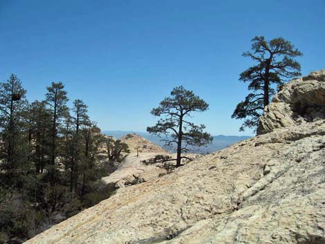
Shortly, the use-trail breaks out of the canyon and onto the crest of the Spring Mountain Range at a saddle with grand views straight down Sandstone Canyon to Spring Mountain Ranch State Park. In fact, grand views are to be had in all directions from the ridgeline as this is the top of the Red Rocks Escarpment. Continuing, the route runs south along the crest of the range climbing over several knolls, each higher than the previous and each with more and more spectacular views. Gaining the top of the first knoll (Wpt. 10) is the most strenuous. Along the ridge, grand views to the north include the spine of the escarpment, La Madre Mountain, and Harris, Griffith, and Mt. Charleston peaks. To the east are Blue Diamond Hill, and in the distance across Las Vegas are Sunrise and Frenchmen peaks, and the Mormon Mountains, Virgin Peak, and mountains off into Arizona. To the south is Mt. Potosi, and to the west is the little visited Kingston Range, the Panamint Range with Telescope Peak on the far side of Death Valley, and other peaks off into the distance in California. |
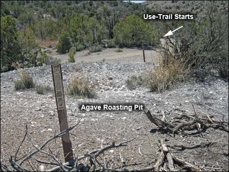 Roasting pit (Wpt. 4) and start of use-trail (Wpt. 5) |
There is a use-trail along most of the crest, but it is faint in places and easier to follow on the way down. The route runs towards a high ridge in the distance to the south. When the now well-defined use-trail crosses over the ridge onto the east facing slope, a large cairn marks the descent into Little Zion (Wpt. 11). The canyon east of the cairn leads into Little Zion, and the slickrock sandstone can be seen in the distance below. Past the large cairn, the well-defined use-trail runs steeply down and south across the hillside towards a low saddle (Wpt. 12) on a side ridge. Before getting to the saddle, the trail becomes faint; after the saddle, it fades out into bighorn sheep trails. From the saddle (Wpt. 12), the easier route turns north and drops into the canyon directly below the large cairn on the ridge. It is also possible to continue over the saddle into the next canyon and then hike down into Little Zion or hike straight down the side ridge; some hikers simply hike straight down from the big cairn. |
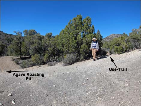 Start of use-trail (slot through trees) (Wpt. 05) |
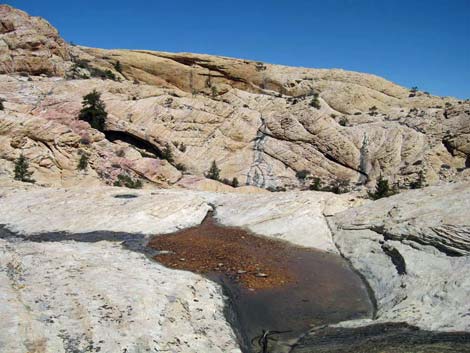
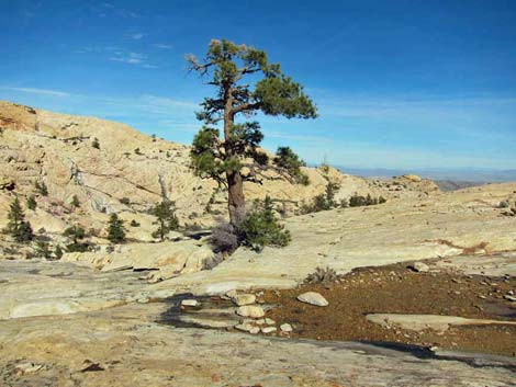
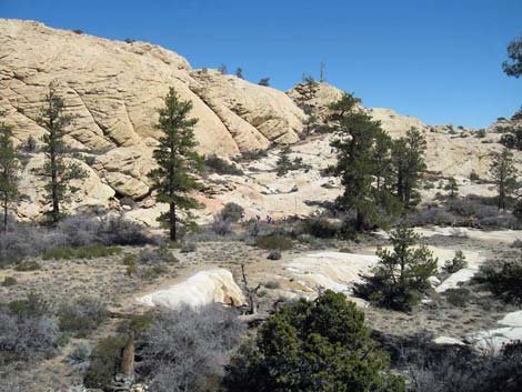
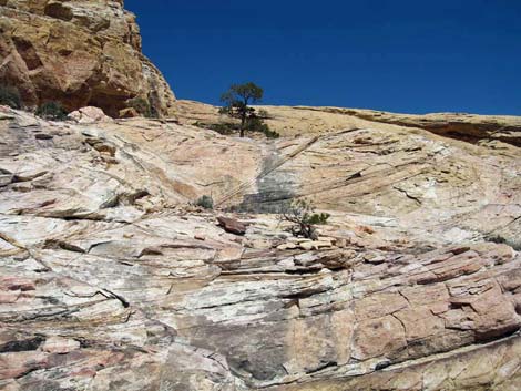
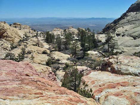
A small spring with grasses growing on the hillside, or at least a bit of a damp area (Wpt. 13), marks the edge of the limestone, the start of the sandstone, and the entry into Little Zion. This is also the trace of the Wilson Cliffs Thrust Fault, part of the Keystone Thrust Fault System, where older limestone rocks were thrust up and over younger sandstone rocks. Take special note of this place; geologists come from all over the world to see this because it is one of the best examples of a thrust fault anywhere on earth. Dropping into Little Zion, the sandstone flattens out, little water courses pour from pool to pool, and tall ponderosa pines provide shade. The hill in the near distance provides a nice sunny place to sit and enjoy the scenery, and there is a large, free-standing arch along the north of the park. This is a nice area to sit and relax or wander around a bit. When ready to head out, follow your footprints back the way you came. |
 |
 |
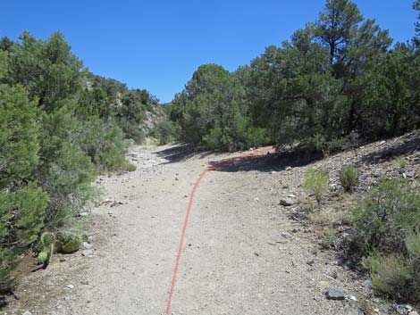
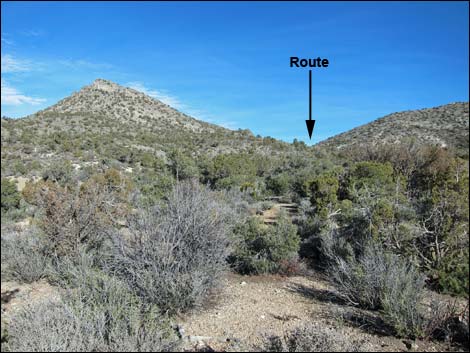 For most of the hike, it is hard to see the route (view NE) |
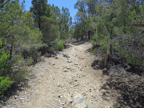
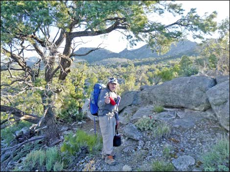 Trail crosses low ridge with rocky outcrop (view NE) |
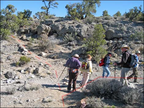 Route leaves use-trail and turns up wash (Wpt. 06) |
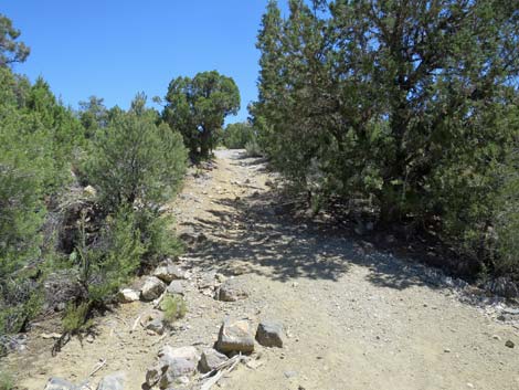
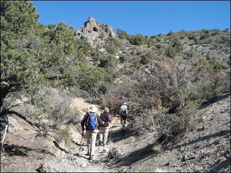 Hikers about 500 ft before side wash at Wpt. 07 |
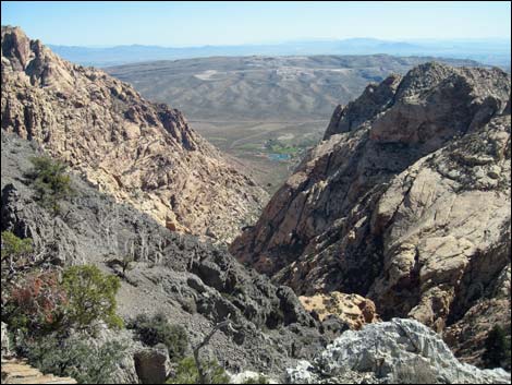 View over crest to Sp. Mtn. State Park (Wpt. 09) |
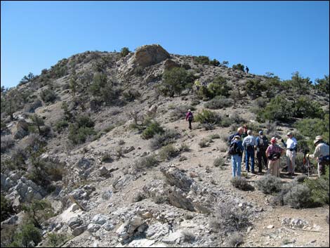 Starting S along crest (at Wpt 09 towards Wpt 10) |
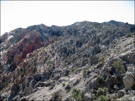 Route follows ridge to highpoint (view SE from saddle) |
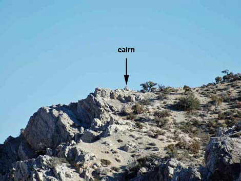 Cairn on ridge at start down to Little Zion (zoom SE from saddle) |
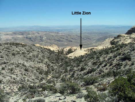 Little Zion (view east from crest; Wpt. 11) |
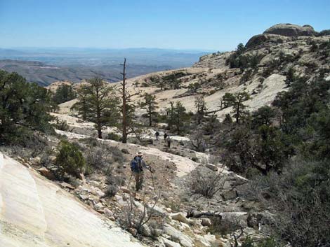 Hiker approaching Little Zion (near Wpt. 13) |
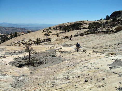 Hiker entering Little Zion with tiny hikers on skyline (arrow; Wpt. 14) |
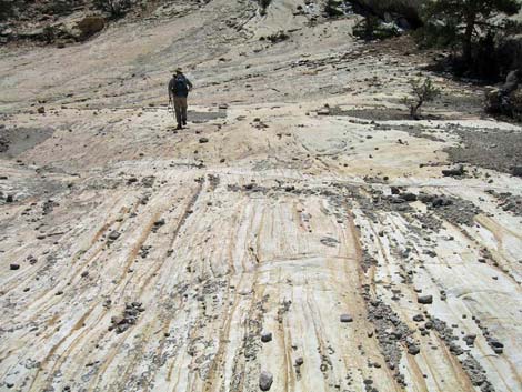 Hiker on slickrock sandstone |
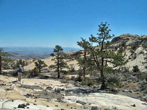 |
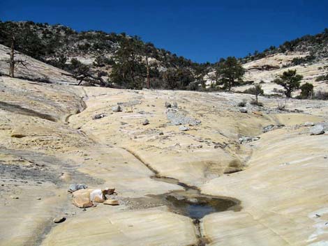 |
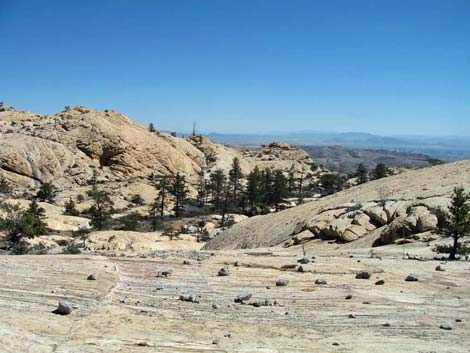 |
 |
 |
 |
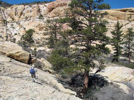 Hiker and Ponderosa Pine |
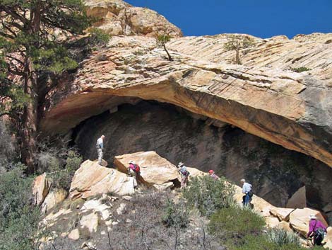 Hikers below the arch |
 |
 |
 |
 |
Table 2. Hiking Coordinates based on GPS Data (NAD27; UTM Zone 11S). Download Hiking GPS Waypoints (*.gpx) file.
| Wpt. | Location | Easting | Northing | Elevation (ft) | Point-to-Point Distance (mi) | Cumulative Distance (mi) | Verified |
|---|---|---|---|---|---|---|---|
| 01 | Trailhead | 634155 | 3990503 | 5,496 | 0.00 | 0.00 | GPS |
| 02 | Turn out of wash | 634213 | 3990545 | 5,515 | 0.05 | 0.05 | GPS |
| 03 | Rainbow Spring | 634267 | 3990611 | 5,558 | 0.06 | . | GPS |
| 04 | Agave Roasting Pit | 634385 | 3990587 | 5,579 | 0.12 | 0.17 | GPS |
| 05 | Use-trail Starts | 634417 | 3990586 | 5,594 | 0.03 | 0.20 | GPS |
| 06 | Turn up Wash | 634495 | 3990781 | 5,610 | 0.16 | 0.36 | GPS |
| 07 | Turn up Side Wash | 635441 | 3990967 | 5,865 | 0.80 | 1.16 | GPS |
| 08 | Turn up Side Wash | 635580 | 3990889 | 5,914 | 0.11 | 1.27 | GPS |
| 09 | Crest of the Range | 635845 | 3990763 | 6,060 | 0.22 | 1.49 | GPS |
| 10 | Cross Knoll | 635847 | 3990630 | 6,173 | 0.10 | 1.59 | GPS |
| 11 | Turn down towards Little Zion | 636492 | 3990359 | 6,270 | 0.50 | 2.09 | GPS |
| 12 | Leave Use-trail | 636607 | 3990292 | 6,222 | 0.09 | 2.18 | GPS |
| 13 | Spring at edge of Little Zion | 636797 | 3990407 | 6,027 | 0.20 | 2.38 | GPS |
| 14 | Heart of Little Zion (The Park) | 637123 | 3990375 | 5,950 | 0.24 | 2.62 | GPS |
Happy Hiking! All distances, elevations, and other facts are approximate.
![]() ; Last updated 240330
; Last updated 240330
| Hiking Around Red Rocks | Hiking Around Las Vegas | Glossary | Copyright, Conditions, Disclaimer | Home |