Hiking Around Las Vegas, Hiking Lake Mead NRA
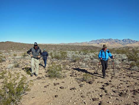
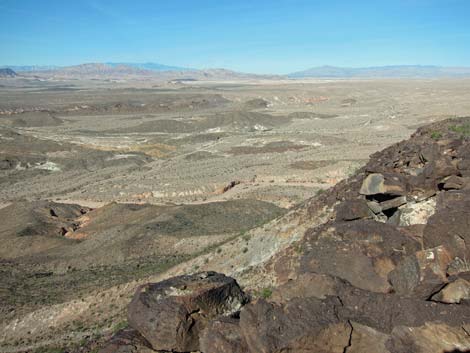
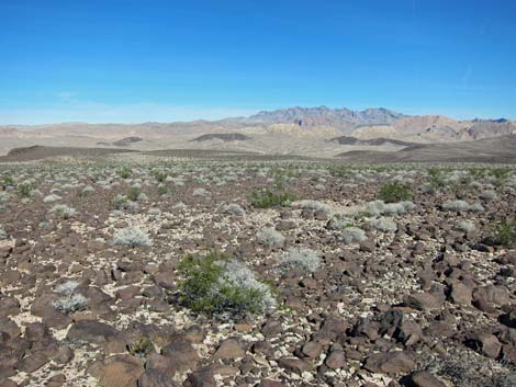
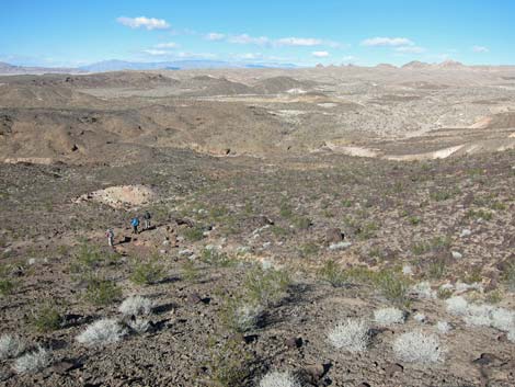
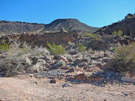
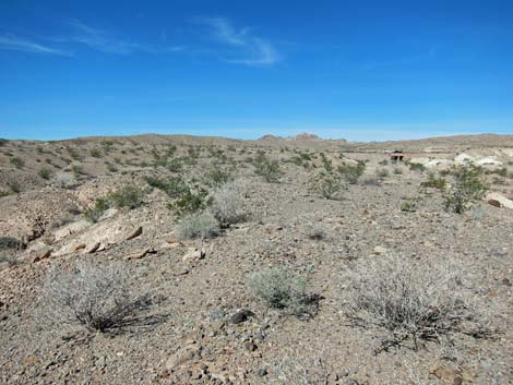
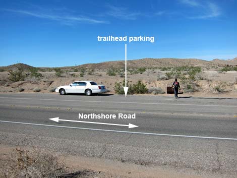
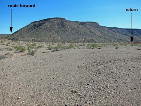 Beginning of route (view SE from trailhead) |
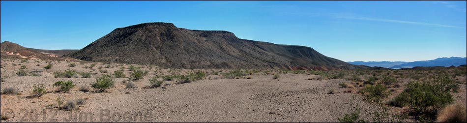
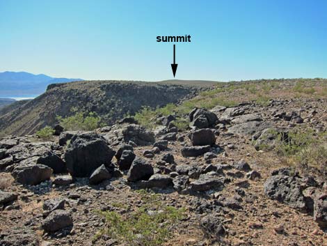
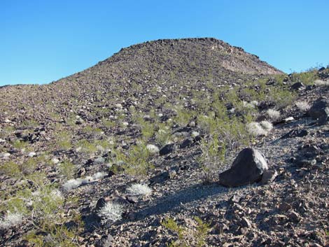
Overview Black Mesa holds a commanding presence over the Boulder Basin of Lake Mead and provides a fairly easy 4-mile loop to a summit with vast views over the entire region. In fact, this probably is the best view in southern Nevada with relatively easy access. Hiking the route in-and-out, thus avoiding the descent ridge, makes the hike considerably easier. There is no trail, not even a use-trail or a game-trail, which is surprising because this was a popular hike and NPS Rangers even lead hikers to the summit. The edge of the mesa is steep and rocky (good rattlesnake habitat), but it is little more than steep Class-2 hiking where trekking poles are helpful and the danger of rockfall is minimal. Link to route map. |
 |
Watch Out Other than the standard warnings about hiking in the desert, ...this hike is fairly safe. There is nothing unusually dangerous about this route, but the steep sections have some loose rocks, and the rocky edge of the mesa top looks like good rattlesnake habitat. While hiking, please respect the land and the other people out there, and try to Leave No Trace of your passage. This hike is in a National Park area, so pay particular attention to respecting the land. This hike runs off-trail where nobody will find you, so be sure to bring the 10 Essentials. Cell phones might work. |
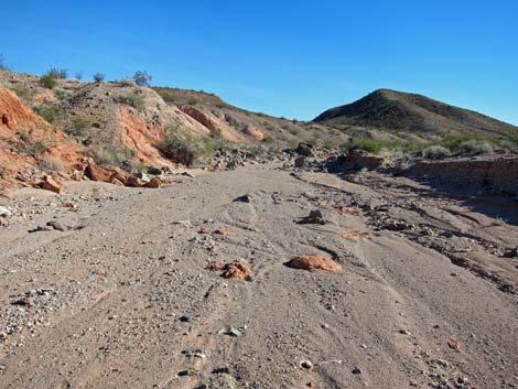
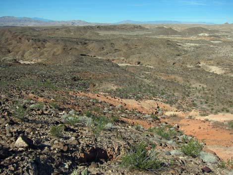
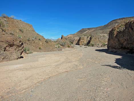
 Confluence of major washes (view SE) |
Getting to the Trailhead This hike is located in Lake Mead National Recreation Area, about 45 minutes east of Las Vegas along Northshore Road. From town, drive out to Lake Mead. From the intersection of Northshore Road and Lakeshore Road, drive north on Northshore Road for 10.5 miles to the Mile 10.5 Trailhead, which is shortly before the turnoff to Callville Bay. Park here; this is the trailhead. |
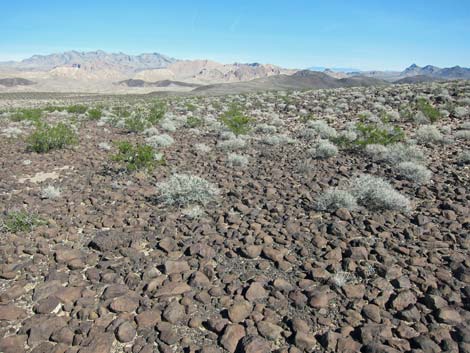
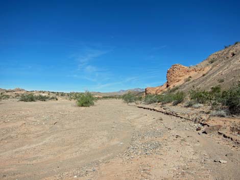
 Route in broad wash (view E) |
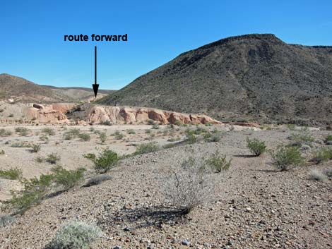
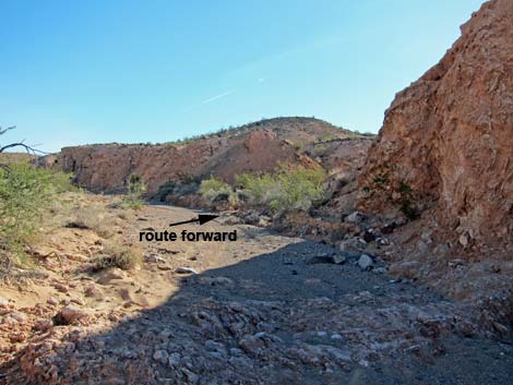
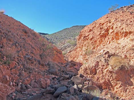
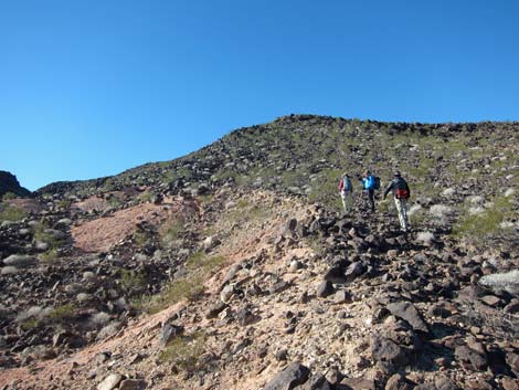
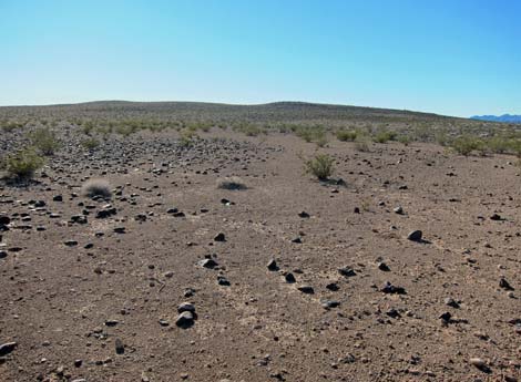
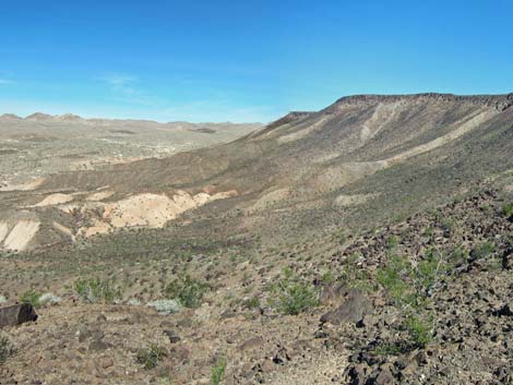
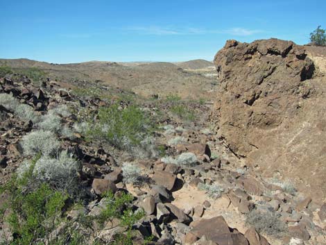
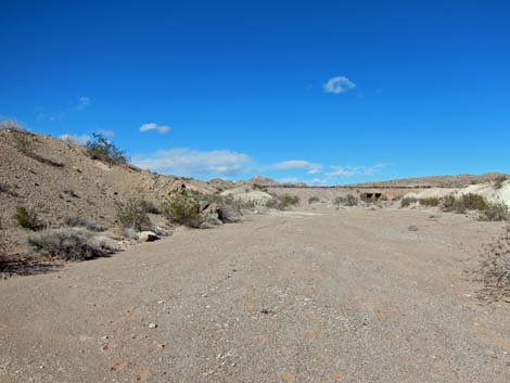
The Hike From the trailhead (Table 1, Waypoint 01), the route runs southeast across desert pavement towards the near edge of Black Mesa. The desert pavement eventually runs out onto low bluffs overlooking the confluence of two broad washes. The route drops into this confluence (Wpt. 02), then turns east along the northern base of Black Mesa following one of the broad washes upstream. In the broad wash, watch for tracks and dropping in the sand. It seems that coyotes and desert bighorn often "use" the wash. As the route runs out around the northeast corner of Black Mesa, the broad wash is joined by a side wash entering from the south (Wpt. 03). This is the first side wash on the south side of the broad wash. |
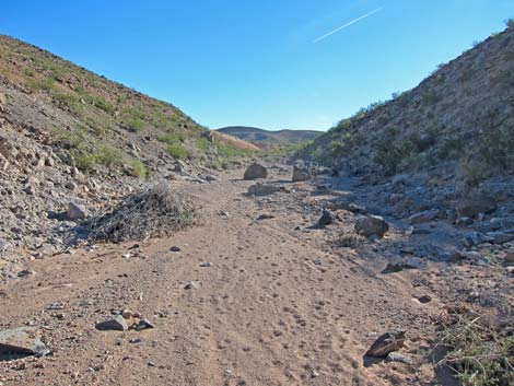 Route in broad wash (view E) |
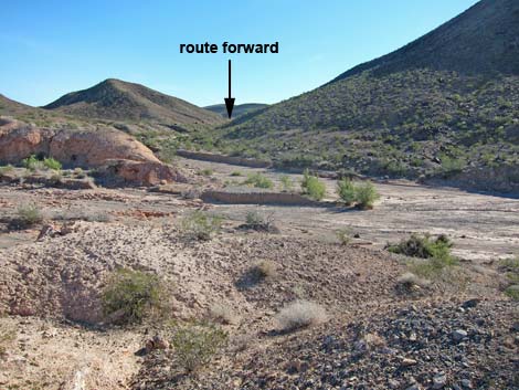
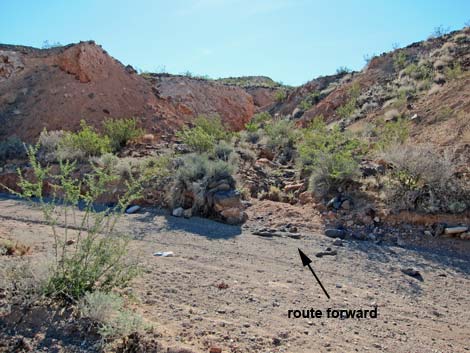
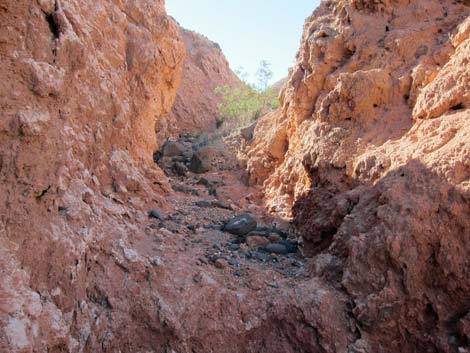
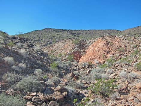
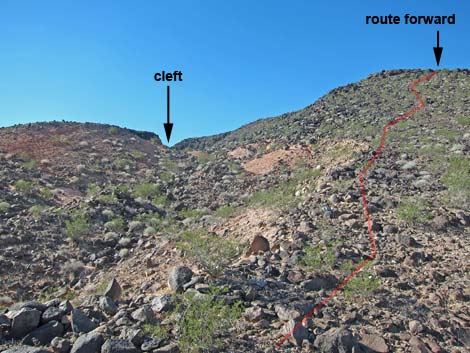
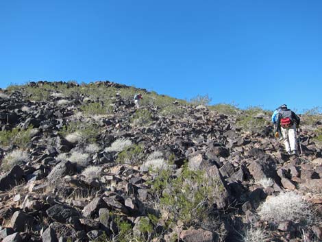
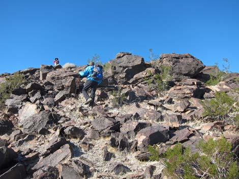
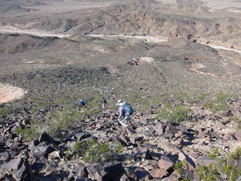
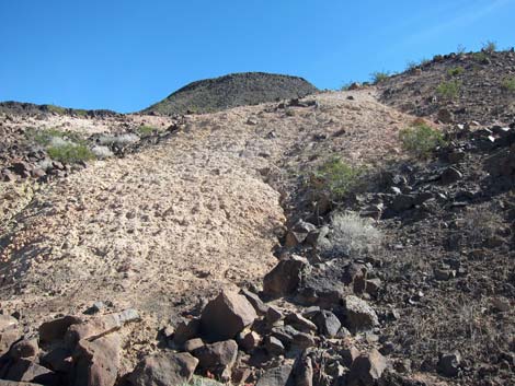
The route turns up the side wash and enters a narrow canyon that cuts through red mudstone highly dissected by veins of gypsum. The bottom of the wash is full of large stones and small boulders, making for less-than-easy walking. Following the rocky wash, the route eventually climbs above the layers of red mudstone. The route continues south in the same rocky wash. As the wash plays out, the route climbs onto a ridge that turns out to be the edge (Wpt. 04) of a deep gully coming down from a cleft in the edge of Black Mesa. Not climbing down into the gully, the route turns right (southwest) and climbs the steep, rocky ridge towards the top of the mesa. Fortunately, this is the shortest of the steep routes leading to the top of the steep part (Wpt. 05), and then the flat top of the mesa is only a few yards farther southwest. |
 Confluence with side wash (view E) |
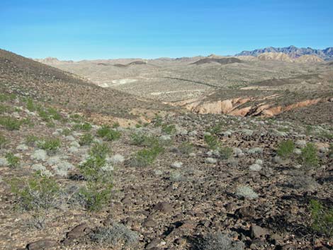
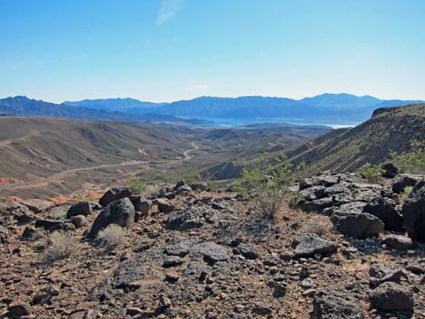
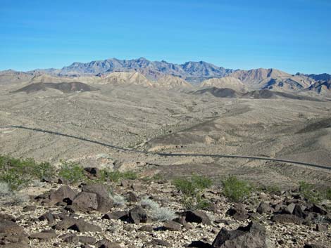
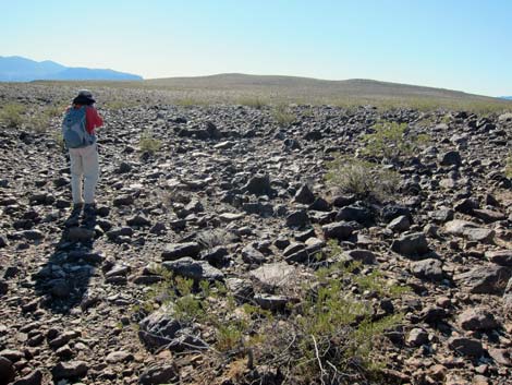
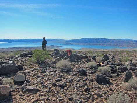
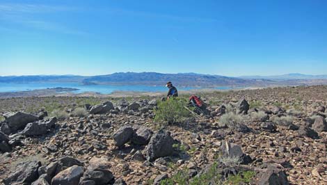
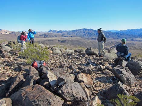
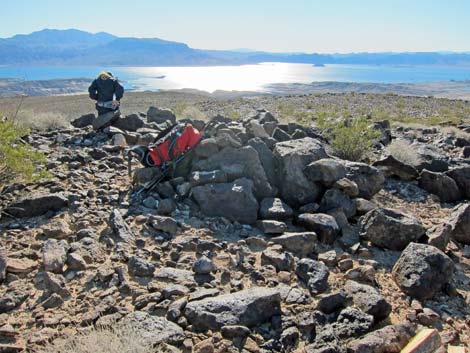
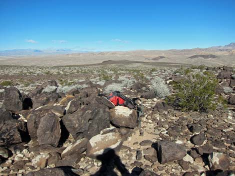
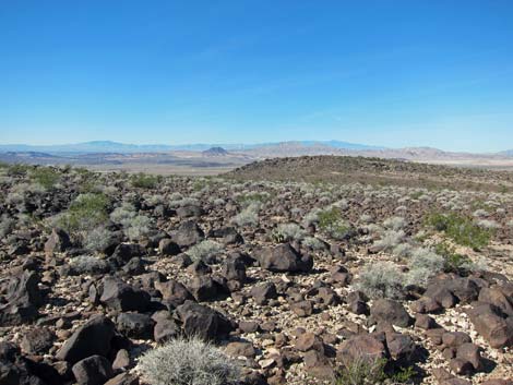
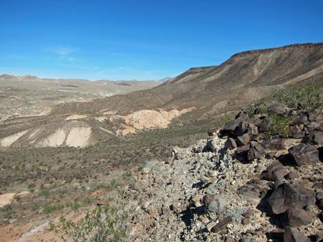
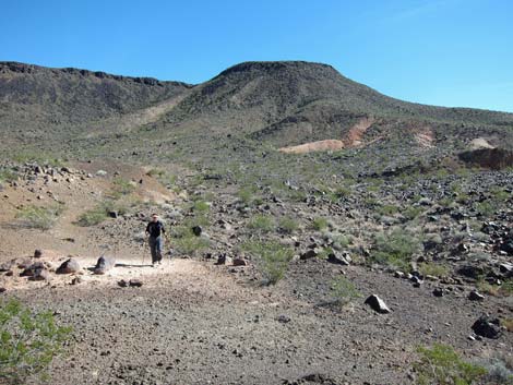
From the top of the mesa top, the route runs south, bypassing the gorge that forms the cleft seen from below by walking a bit to the right of the most direct route. Alternatively, from the edge of the mesa, hike southwest towards the near highpoint (Wpt. 06). The top of Black Mesa is so flat that walking to an unnecessary highpoint is trivial, besides, it provides nice views to the northwest towards the Spring and Sheep Mountains, plus it provides a view of the descent ridge. Continuing across the rocky surface of Black Mesa, the route eventually runs out to the summit (Wpt. 07), which is a few yards west of Benchmark La Mesa (main and two auxiliary markers). Often benchmarks take the name of the mountain, or vise versa, but the names differ here, which is odd. Views from the summit (see panoramas below) are spectacular and are among the best in all of southern Nevada, and clearly the best available from a relatively easy hike. All of the major mountain ranges in the region can be seen, and the near-field scenery isn't too bad either. |
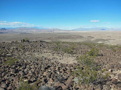
 Confluence with side wash (view SE) |
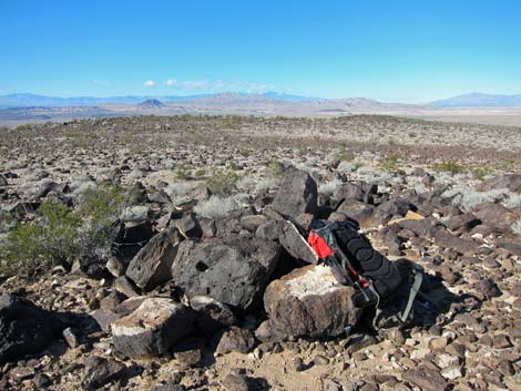
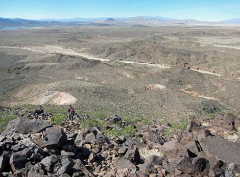
Making a loop for the descent, the route departs the summit (Wpt. 07) running northwest along the edge of Black Mesa heading for a steep, rocky ridge that provides the easiest route down the west side of the mesa (Wpt. 08). The top of the descent ridge provides an overview of the route down. In general, the route runs down the face of the ridge to the northwest, but it is less rocky to stay left to catch the edge of a sub-ridge where bighorn sheep have somewhat improved the route. Below, the walking also is less rocky to the left than is dropping directly down the face of the hillside. The route descends to the broad wash (Wpt. 09), below. The exact route doesn't matter, as downhill only leads to the wash, which is the same wash that drains the confluence of major washes (Wpt. 02) seen at the beginning of the hike. |
 Ascending rocky gully through mudstones (view S) |
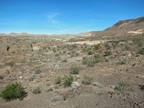
The hike down is steep and rocky, but we found relatively few loose rocks and the danger of rockfall was minimal. There are some interesting mineral outcrops low on the ridge, but try to stay off the loose mudhills as footprints will probably show for years. In the broad wash (Wpt. 09), the route turns north and runs upstream along the base of the mesa. The walking is easy, and there are some nice examples of gypsum eroding from the hillsides along the wash. It is surprising that miners didn't haul it away decades ago. Heading up the wash, hikers can exit the wash (Wpt. 02) and walk across the desert to the trailhead, or they can continue upstream in the wash to the road, and then walk along the pavement for about 150 yards (watch for fast-moving drunk drivers!) to the trailhead (Wpt. 01). |
 Nearing the top of the red mudstone canyon (view S) |
 Continuing up rocky wash (view S) |
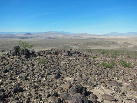
 Base of ridge, overlooking wash below cleft (view SW) |
 |
 |
 |
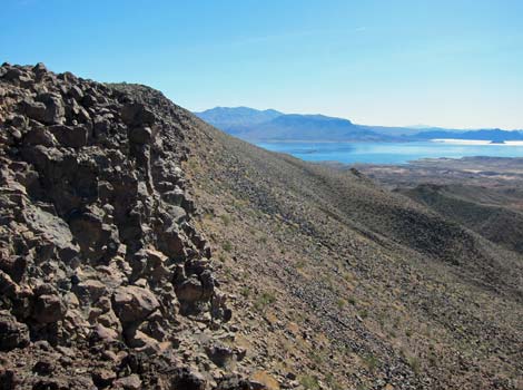
 Grand scenery, looking back down the route (view NE) |
 Edge of mesa (view SSE towards summit) |
 Edge of mesa (view SE towards Callville Bay Marina) |
 Edge of mesa (view NE looking back) |
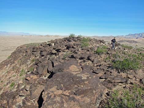
 Hiker starting across the mesa (view S) |
 Hikers atop the mesa (view N) |
 Four fresh bighorn sheep beds (arrows) |
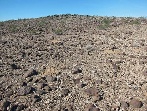
 Rocky top of the mesa (view SE) |
 Rocky west edge of the mesa (view S) |
 Rocky edge of the mesa (view NW) |
 Hiker departing the highpoint (view N) |
 Area atop mesa without rocks (view N) |
 Hiker on the summit (view SW) |
 Hiker on the summit (view SW) |
 Hikers on the summit (view E) |
 Hiker on the summit (view S) |
 Summit (view NW towards Mt. Charleston) |
 Summit (view N towards Sheep Range) |
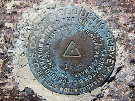 1934 benchmark La Mesa (US Coast and Geodetic Survey) |
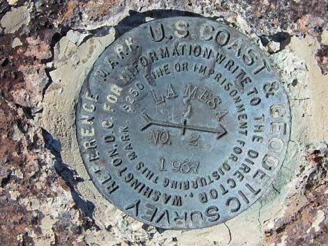 1934 locator mark with arrow pointing at benchmark |
 Route off the summit (view NW) |
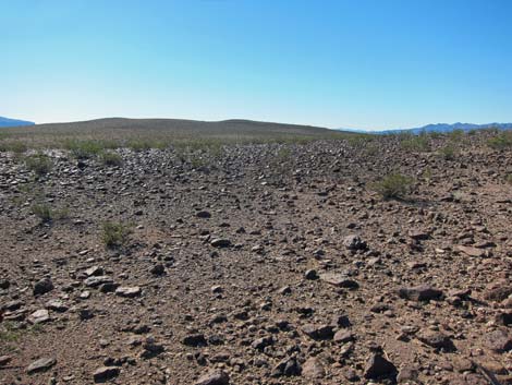
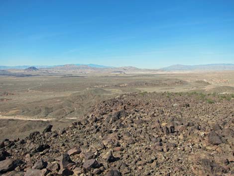
 Route across the mesa (view NW towards the Muddy Mountains) |
 Rocky route on mesa top (view NE) |
 Rocky route towards mesa edge (view W) |
 Rocky route towards mesa edge (view W) |
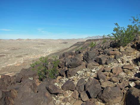
 Rocky edge of mesa (view S) |
 Rocky edge of mesa (view W) |
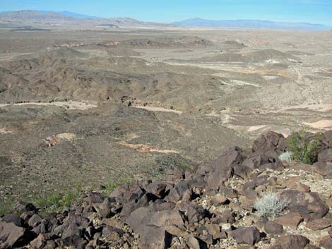
 Rocky edge of mesa (view N) |
 Rocky route below the mesa top (view W) |
 Hiker descending rocky ridge (view W) |
 Hiker descending rocky ridge (view W) |
 Looking back up the rocky ridge (view E) |
 |
 |
 Scenery while descending rocky ridge (view W) |
 Scenery while descending rocky ridge (view N) |
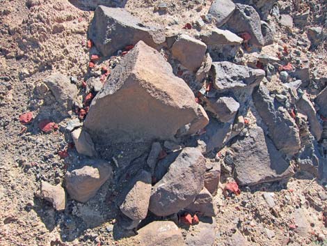 Odd shards of red stone scattered about |
 Rocky descent through wash (view W) |
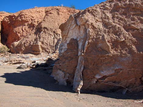
 Tongue of volcanic ash below descent ridge (view SE) |
 Hiker at white spot that can be seen from mesa top (view SE) |
 Approaching major wash (view N) |
 In the wash, looking back up the route (view E) |
 Major wash (view N) |
 Route up major wash (view N) |
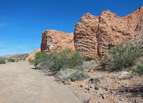 Red bluff with gypsum veins along wash (view N) |
 Gypsum veins along wash (view E) |
 Route approaching confluence of major washes (view N) |
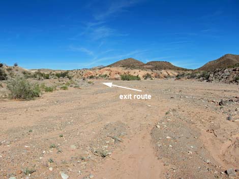
 Approaching trailhead via original route on desert pavement (view N) |
 Approaching trailhead via wash route (view N) |
 Returning to the trailhead (view N) |
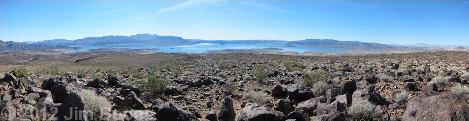
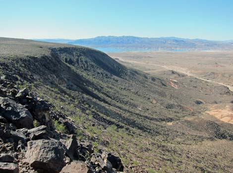
Panoramic view from the summit: southern horizon (view SE [110 degrees] to W [270 degrees])
The view is dominated by (left to right) the toe of Hamblin Mountain, Black Mountains in Arizona (Wilson Mountain is the highest peak), Fortification Hill (Arizona), Lake Mead disappearing down Black Canyon, the River Mountains, Mount Potosi (far distance), Las Vegas urban area, Red Rock Canyon cliffs, and Lava Butte.
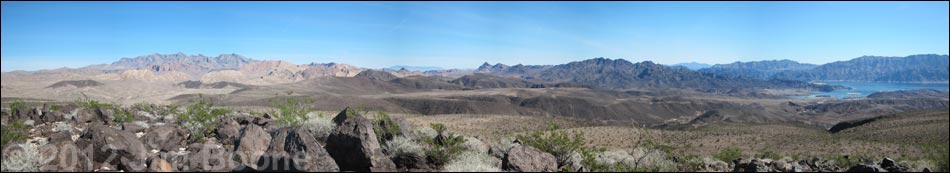
Panoramic view from the summit: northeast horizon (view N [350 degrees] to SE [130 degrees])
The view is dominated by (left to right) Muddy Mountains, Virgin Mountain (far distance), Northshore Peak, Hamblin Mountain, Bonelli Peak (far distance), and the Black Mountains in Arizona.
Table 1. Hiking Coordinates Based on GPS Data (NAD27; UTM Zone 11S). Download Hiking GPS Waypoints (*.gpx) file.
| Wpt. | Location | UTM Easting | UTM Northing | Elevation (ft) | Point-to-Point Distance (mi) | Cumulative Distance (mi) | Verified |
|---|---|---|---|---|---|---|---|
| 01 | Trailhead | 700117 | 4005287 | 1,633 | 0.00 | 0.00 | Yes |
| 02 | Confluence of Major Washes | 700320 | 4005050 | 1,585 | 0.23 | 0.23 | Yes |
| 03 | Confluence with Side Wash | 700962 | 4005115 | 1,629 | 0.43 | 0.66 | Yes |
| 04 | Base of Ridge | 701024 | 4004716 | 1,801 | 0.33 | 0.99 | Yes |
| 05 | Edge of Ridge | 700881 | 4004608 | 2,021 | 0.13 | 1.12 | Yes |
| 06 | High Point | 700699 | 4004387 | 2,106 | . | . | GPS |
| 07 | Summit | 701078 | 4003445 | 2,198 | 0.81 | 1.93 | Yes |
| 08 | Top of Descent Ridge | 700456 | 4003764 | 2,028 | 0.47 | 2.40 | Yes |
| 09 | Base of Descent Ridge | 699994 | 4004018 | 1,538 | 0.47 | 2.87 | GPS |
| 02 | Confluence of Major Washes | 700320 | 4005050 | 1,585 | 0.73 | 3.60 | Yes |
| 01 | Trailhead | 700117 | 4005287 | 1,633 | 0.27 | 3.87 | Yes |
Happy Hiking! All distances, elevations, and other facts are approximate.
![]() ; Last updated 240326
; Last updated 240326
| Hiking Wilderness | Hiking Lake Mead | Hiking | Glossary | Copyright, Conditions, Disclaimer | Home |