Hiking Around Las Vegas, Red Rock Canyon National Conservation Area
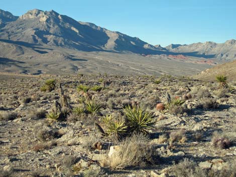 |
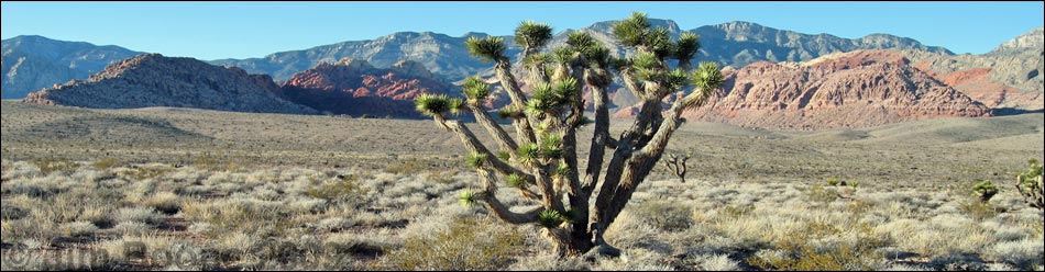
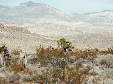
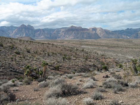
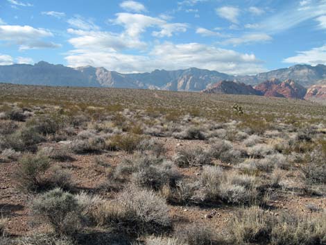
Overview A number of nice use-trails have become established in the Red Rock Canyon Campground Area. Some trails follow old roads, others run across virgin desert, one runs in a wash, another across flats, others up ridges and onto hilltops with views of the Las Vegas Strip. This webpage serves as an index to hikes in the campground area. These hikes are nice because they are close to town and are not on the Scenic Loop Drive. This makes them free, nice for quick little get away from town, and minimizes wasted time driving to and from the hike. Link to Area Overview Map. |
 |
Watch Out Other than the standard warnings about hiking in the desert, ...this is a pretty safe hiking area. There are places to fall on the ridge hikes, but only if you try. While hiking, please respect the land and the other people out there, and please try to Leave No Trace of your passage. Also, even though these hikes are short and close to civilization, be sure to bring what you need of the 10 Essentials. A bit of history: Before this area became a National Conservation Area in 1990, folks with 4WD drove and camped all over this place, hence the multiple roads where no vehicles are now allowed. Notice how long it takes for the desert to 'reclaim' these damaged spots. Also, the Gun Range is on private property and was there long before the NCA was established, although locating the campground on the back side of the gun range was a curious decision. |
 |
Getting to the Trailhead This hike is located in Red Rock Canyon National Conservation Area, about 30 minutes from town, but not on the Scenic Loop Road. Drive out West Charleston Blvd to Moenkopi Road and turn left towards Red Rock Campground. For non-campers, drive south on Moenkopi Road about 0.3 miles to Moenkopi Road Trailhead (Moenkopi Road Recreation Site parking area). Park here; this is the trailhead. For campers, continue south into the campground, park at your campsite, then walk out into the desert and pick up the trails. |
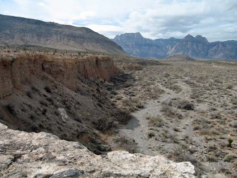 |
The Hikes Campground Wash Loop: From the trailhead, this trail runs west and drops into Red Rock Wash. The trail runs along the wash below cliffs to a break in the cliffs, climbing above the cliffs, and looping back to the trailhead. |
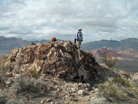 |
Fire Station Hill: From the trailhead, this trail runs west and south to climb the hill behind the BLM Wildland Fire Station. Looping back, the route runs off trail to an old road, then follows it and the paved road back to the trailhead. For such a short hike, this one gives the feeling of being way out in the wild places. |
 |
Middle Hill Loop: From the trailhead, this trail runs west starting on the Fire Station Hill Trail, but after climbing onto Middle Hill, it turns back towards the trailhead, making a nice 1.5 miles loop with grand views. |
 |
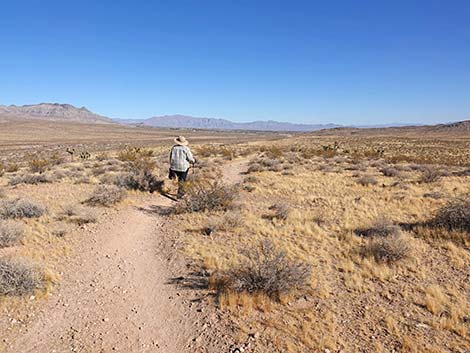
Campground Flats Loop: From the trailhead, this trail runs east towards Gun Range Hill, then makes a short loop back to the trailhead. This loop is flat and easy with broad expansive views. |
 |
Gun Range Ridge Loop: From the trailhead, this trail runs east towards Gun Range Hill, turns south for a bit, then makes a long loop back to the trailhead, following the paved road at the end. |
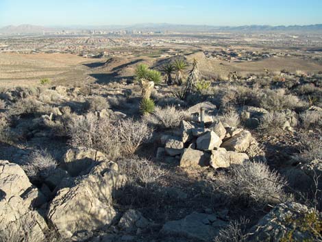 |
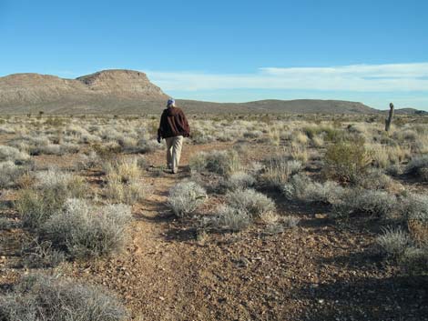
Campground Knoll: From the trailhead, this trail runs east towards Gun Range Hill, turns south and makes a long run, partially off trail, to the summit of a knoll overlooking the campground. Looping back to the campground, the route follows the road back to the trailhead. The knoll provides nice views of Las Vegas and the Strip. |
Happy Hiking! All distances, elevations, and other facts are approximate.
![]() ; Last updated 250123
; Last updated 250123
| Hiking Around Red Rocks | Hiking Around Las Vegas | Glossary | Copyright, Conditions, Disclaimer | Home |