Hiking Around Las Vegas, Sloan Canyon NCA
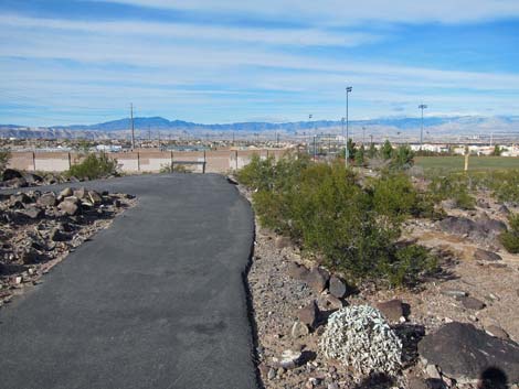
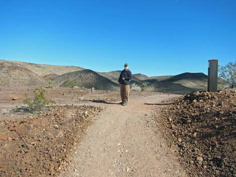
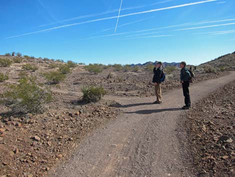
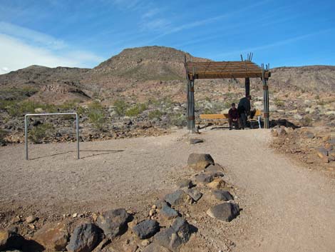
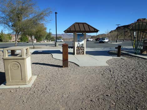
 Anthem Hills Trailhead (view E)
 |
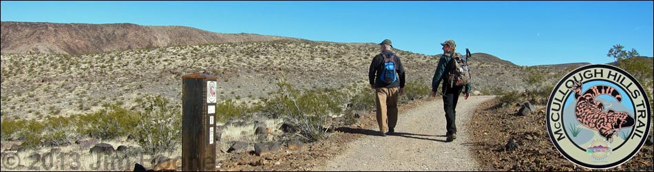
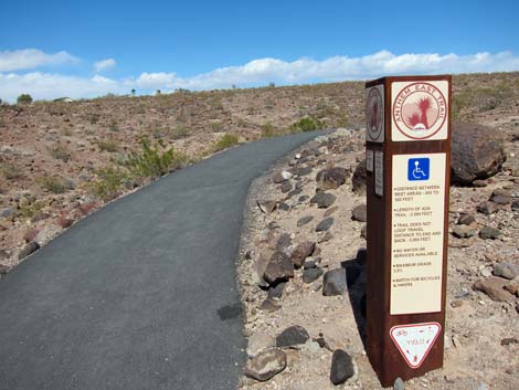
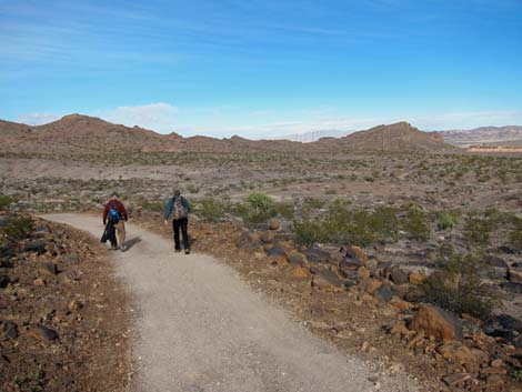
Overview The McCullough Hills Trail is a long (8-1/2 miles), but generally gentle hike in the Sloan Canyon National Conservation Area that runs between the Anthem Hills Trailhead and the McCullough Hills Trailhead. The trail can be hiked in either direction, but here it is described west to east. As such, the trail starts climbing gradually through rolling hills sparsely covered with creosote bush and white bursage. By the time the trail starts descending, the vegetation fairly robust and diverse, more typical of Mojave Desert Scrub vegetation, and the geology is more striking. Views from along the trail, and especially from the two main viewpoints, are grand and sweeping. Link to map. |
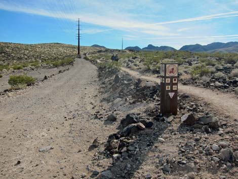
 Horses use dirt road (left), hikers use-trail (right) |
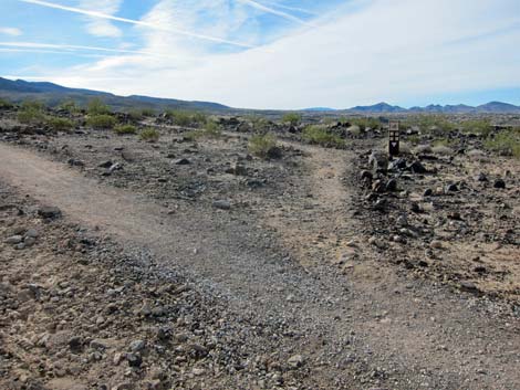
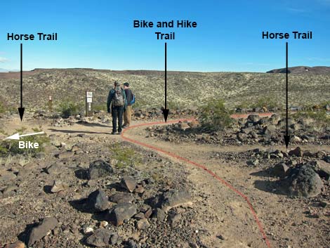
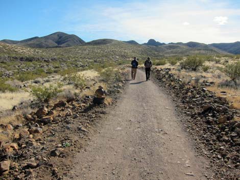
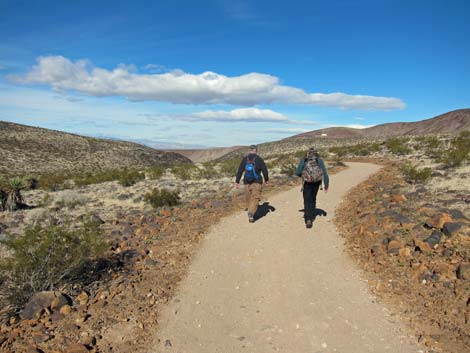
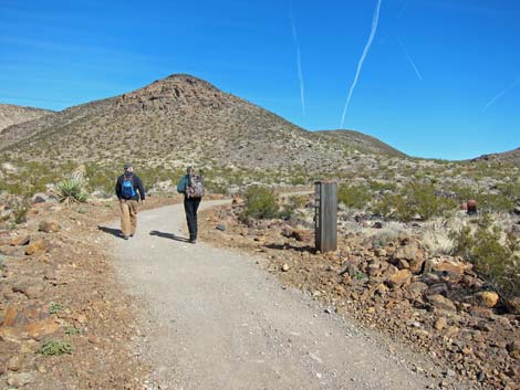
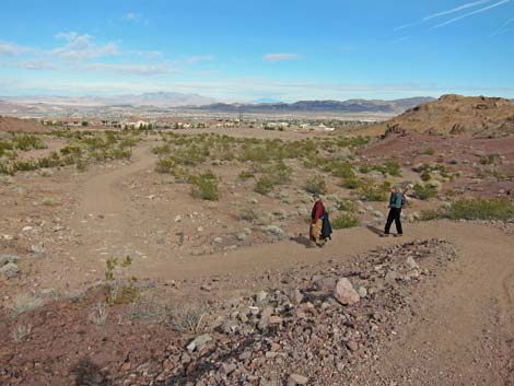
This trail is designed to accommodate hikers, bikers, and horse riders, and in places three trails run parallel, one trail for each group. However, the instruction signs can be confusing, especially when people change the direction arrows. It is nice that the three groups are separated in some areas. In particular, horses tend to tear up trails, so hiking on trails without horses can be much more pleasant. Also, hikers need not watch for bicycles careening down the trail, and bike riders need not worry that hikers will jump in the wrong direction at the last minute. |
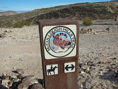
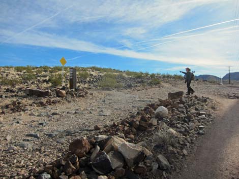
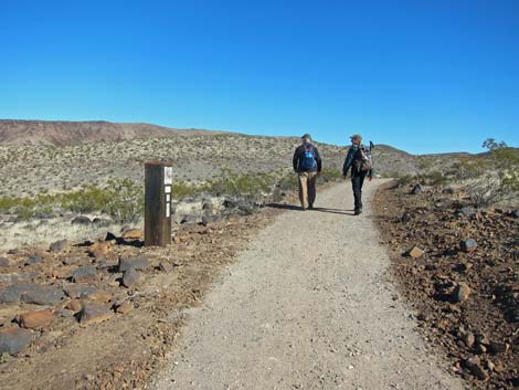
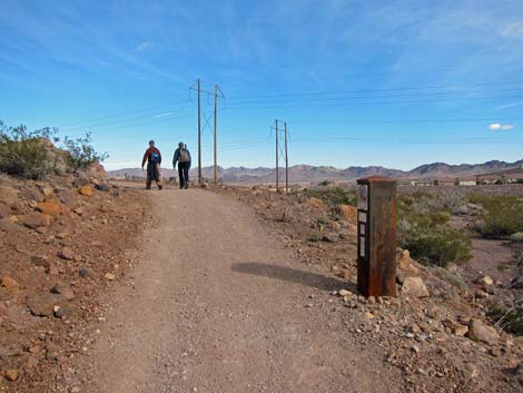
 Trail sign just beyond the trailhead (view E) |
Watch Out Other than the standard warnings about hiking in the desert, ...this hike is fairly safe with no unusual hazards. Hikers should keep an eye out for bikers careening down the trail, and always give the right-of-way to horses. While hiking, please respect the land and the other people out there, and try to Leave No Trace of your passage. Also, even this hike is long, be sure to bring what you need of the 10 Essentials. Cell phones work from much of the trail. |
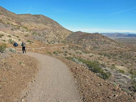
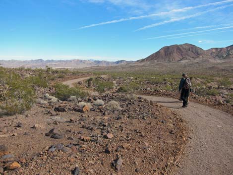
 Switchbacking (view W to town and the mountains |
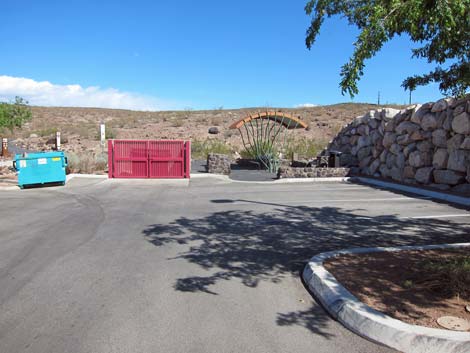
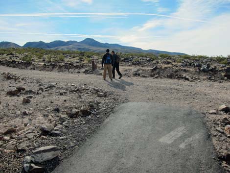
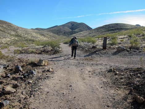
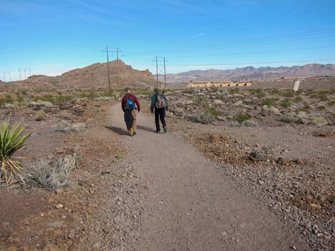
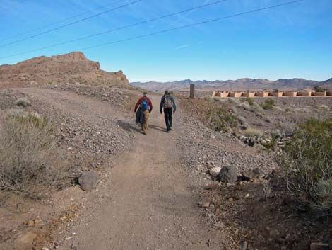
Getting to the Trailhead This hike is located in Sloan Canyon NCA and is accessed from urban neighborhoods in the Anthem and Horizon Ridge areas of Henderson. The west end of the trail is accessed from the Anthem Hills Trailhead, and the east end of the trail is accessed from the McCullough Hills Trailhead. Described as a through-hike, this hike required a vehicle shuttle, which takes a surprisingly long 25-30 minutes or so. Technically, the west end of the trail seems to start at the end of McCullough Hills Parkway, adjacent to Del Webb Middle School, but is appears that school officials would rather have hikers use the Anthem Hills Trailhead. Using the official trailhead adds only a few minutes of walking to the hike. |
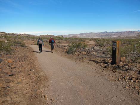
 Hikers arrive at powerline road |
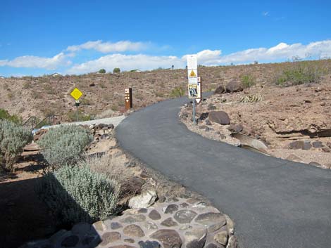
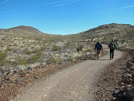
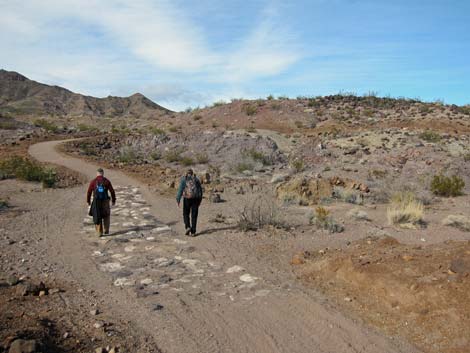
The Hike From the Anthem Hills Trailhead (Table 1, Waypoint 01), the paved Anthem East Trail runs east into the desert. The trail quickly passes a junction on the left to the Poppy Trail (Wpt. 02), then switchbacks gradually up the hill, alternately giving nice views of desert hillsides to the east and urban areas to the west (also the Red Rock cliffs and the Spring Mountains in the distance). After passing four switchbacks, the trail forks at a T-intersection (Wpt. 03). Staying right, the paved trail runs south. The pavement ends (Wpt. 04) at the edge of a dirt powerline road. Across the road is the first of the McCullough Hills Trail signs (Wpt. 05). Hikers could have arrived at this point directly by starting the hike at the end of McCullough Hill Parkway (Wpt. 01A), but this option involves parking issues. |
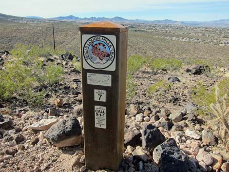
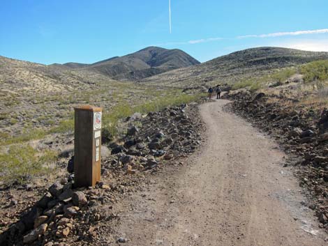
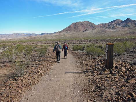
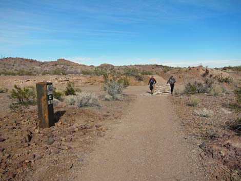
 Typical trail sign |
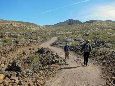
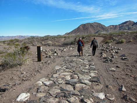
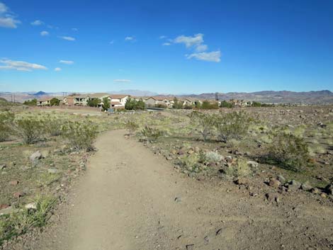
Turning east on the powerline road, it soon becomes apparent that a narrow foot-trail parallels the road. It seems that the foot-trail is intended for hikers and bikers, while the powerline road should be used by horse-back riders. Vegetation in this area is sparse and stunted Mojave Desert Scrub, represented by creosote bush, white bursage, littleleaf ratany and little else, interspersed densely with gramma-type bunchgrass. There are also a few silver cholla and beavertail cactus. In general, however, the vegetation shows poor diversity and is sparse and stunted, indicating that this area gets relatively little rain. |
 Horses and hikers are separated (view E) |
Running parallel to the powerline road, the trail passes two paved trails to the left (Wpt. 06; Wpt. 07) that tie back into the paved trail system originating from the trailhead, and hikers could have used these longer trails to arrive at the powerline road. A bit farther along, the trail passes a spur trail to the right (Wpt. 08) that runs about 220 feet to a scenic overlook with a picnic table or something. A tad farther yet, the trail passes a trail junction (Wpt. 09) where the East Anthem Trail turns off to the right and runs some 5.4 miles south to the Shadow Canyon Trailhead. |
 East Anthem Trail turns to the right (view SE) |
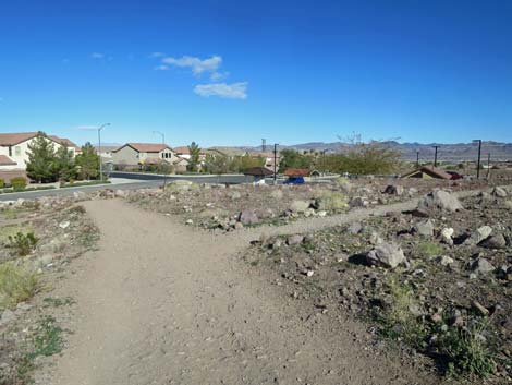
Shortly, the trail leaves the road and turns left (Wpt. 10) at a trail sign and a yellow caution sign just before the powerline road ends. The trails here are quite confusing. For hikers, use the south-most trail: from the trail sign, walk north a few yards to a trail junction (Wpt. 11), stay right, and in a few more yards, stay straight at another trail junction (Wpt. 12). This trail is more direct and a bit steeper than the other two trails. For equestrians, use the left-most trail (stay left at Wpt. 11). For bike riders, use the middle trail (stay right at Wpt. 11 and left at Wpt. 12). Ultimately, all of these trails will come together again. |
 End of the road (view E) |
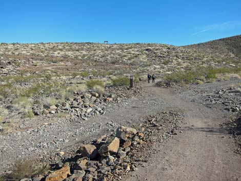
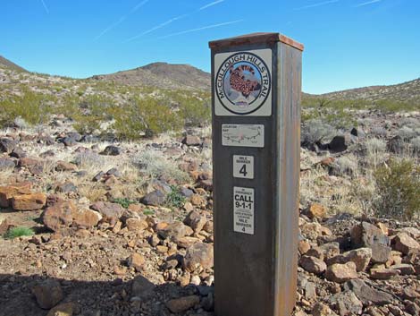
For hikers, the trail runs generally southeast, passing Mile Marker 7 (Wpt. 13) along the way. Not long thereafter, the trail curves to the north and arrives at a very confusing set of trail intersections (Wpt. 14; Wpt. 15) with very confusing trail signs. As the hiking trail curves left, it passes an unsigned trail junction (Wpt. 14) on the right only a few steps before reaching a signed trail junction (Wpt. 15) where two trails appear to cross. For hikers, the simple answer is to turn right at the signpost and head east on the broad, new trail. Reviewing aerial photos, it is apparent that the first trail to the right runs southeast about 0.35 miles to a dirt road; it seems that equestrians use this trail. The other two trails (left and straight on arriving at the sign post) are the bike trail and horse trail, respectively. These both connect back to the previous confusing intersection. |
 Hikers on foot-trail (view E) |
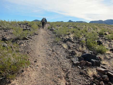
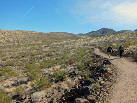
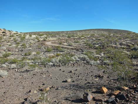
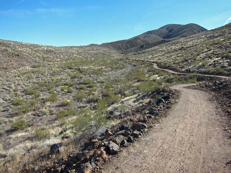
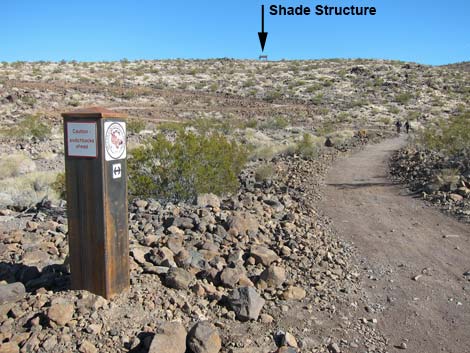
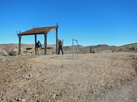
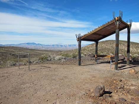
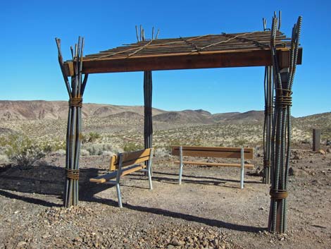
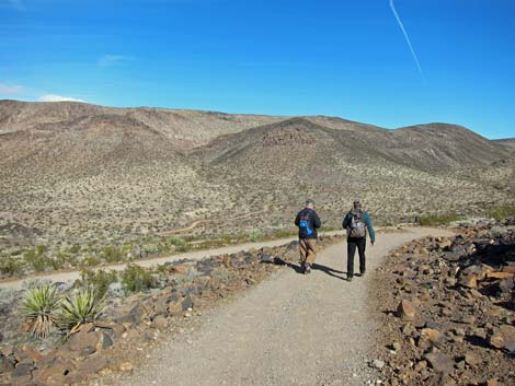
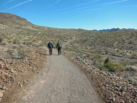
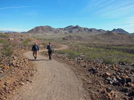
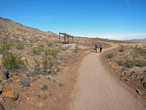
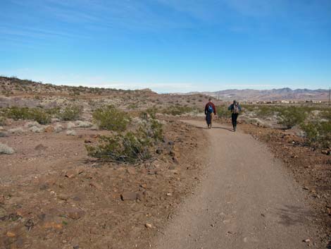
Continuing, the trail is wide, clear, and easy all the way to the far end. The trail generally climbs into the hills on a gradual incline, then crosses a low ridge and drops to cross a wash (Wpt. 16). Beyond the wash, the trail switchbacks onto the next ridge, crosses a dirt road (Wpt. 17), and passes Mile Marker 6 (Wpt. 18). Continuing on a gentle grade, the trail crosses another wash (Wpt. 19) and climbs more steeply towards the next ridgeline. The trail passes 5-6 switchbacks (depending on what, exactly, you count) and arrives on the ridgeline where a nice shade structure with park benches beckons the tired hiker (this point is 3 miles out and mostly uphill). There is even a hitching rail for saddle-sore equestrians. |
 Hikers on foot-trail (view E) |
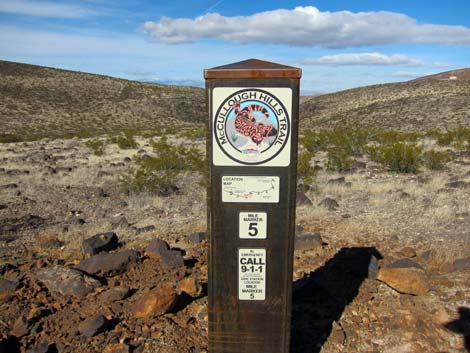
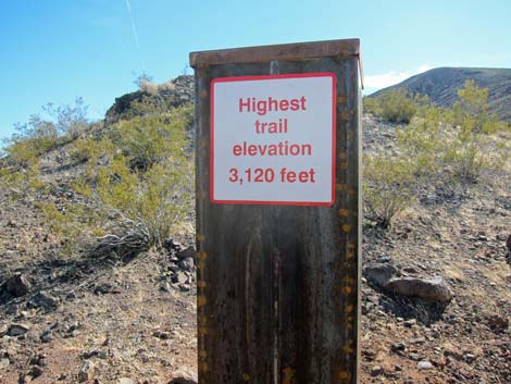
Beyond the reststop, the trail continues gently northeastward, passing Mile Marker 5 (Wpt. 21) and shortly arriving at a trail junction (Wpt. 22). Here, a sign post with the elevation marks the West Overlook Spur Trail to the left that runs northwest about 0.25 miles to the West Overlook (Wpt. 23) with great views to the west. Click the link for West Overlook photos. Back at the main trail (Wpt. 22), notice that the trail sign reads: Highest trail elevation 3,120 feet, then continue eastward hiking UP the hill for about 200 yards. From there, the trail descends at moderate grades turning 5-6 switchbacks, again, depending on what is counted. The trail winds down to cross a wash, then passes Mile Marker 5 (Wpt. 25) and begins climbing gradually towards the next ridgeline. |
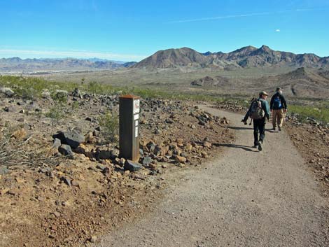
 Mile Marker 7 |
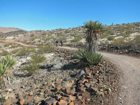
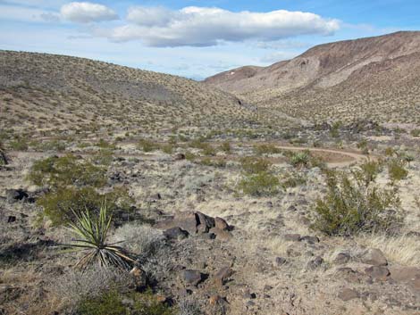
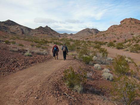
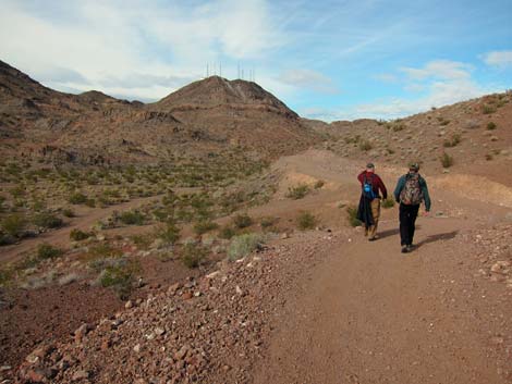
In this area, and for the duration of the hike, the vegetation becomes more robust and diverse. In addition to creosote bush and white bursage, there are tall mojave yucca and dense stands of buckhorn cholla. Indigo bush is common, and there are a few pineapple cactus, silver cholla, and barrel cactus. Just shy of the ridgeline, the East Overlook Spur Trail (Wpt. 26) turns to the left. As before, this spur runs north about 0.17 miles to the East Overlook (Wpt. 27) with great view to the east and west, but especially towards mountains to the east. Click the link for East Overlook photos. Back at the main trail (Wpt. 26), the trail runs east and descends the steep hillsides at a moderate grade. The east side of the mountains is more rugged, the rocks are more colorful, and the vegetation is even more diverse and robust. |
 Hikers on foot-trail (view E) |
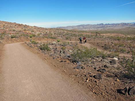
Descending, the trail passes Mile Marker 3 (Wpt. 28) and continues to another shade structure (Wpt. 29) with benches and a hitching rail more or less at the bottom of the hillside. From there, the trail resumes typical gentle grades as it runs down into the valley. The trail passes Mile Marker 2 (Wpt. 30) and crosses the broad, sandy wash in the bottom of the valley twice (Wpt. 31; Wpt. 32). After crossing a side wash (Wpt 33), the trail climbs out of the wash onto a colorful hillside and begins running more to the northeast. The trail passes Mile Marker 1 (Wpt. 34), and then contours around the edge of a ridge, crossing a powerline road twice (Wpt. 35; Wpt. 36), once on each side of the ridge. |
 A most-confusing trail junction |
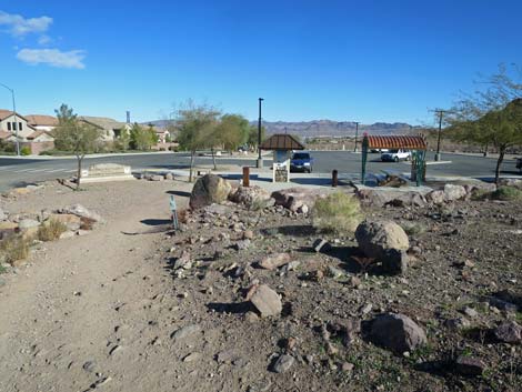
Past the ridge, the trail turns northwest and descends into the next canyon. The trail crosses another wash (Wpt. 37), this one with an old road, and runs up along the side of another colorful ridge as it climbs towards the final saddle and highpoint (Wpt. 38). From the highpoint, the trail descends to the trailhead, which is visible ahead. While crossing the sandy wash, notice the desert senna, which has nice, pea-flowers during spring. This might be the northern-most population of this species, which is common in the California deserts. The trail eventually arrives at the trailhead (Wpt. 39) on the edge of the urban area. Signs provide maps of the area and information about the area. |
 Hikers on nice, new trail (view E) |
 Hikers on nice, new trail (view E) |
 Hikers on nice, new trail (view E) |
 Trail climbs hillside (view E) |
 Hikers crossing old road (view E) |
 Mile Marker 6 (view E) |
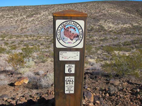 Mile Marker 6 (view N) |
 Trail climbs at gentle grades (view E) |
 Hikers across wash (view NE) |
 Trail marker and switchbacks up hillside (view NE) |
 Hikers arriving at shade structure (view NE) |
 Shade structure (view W to Red Rocks Cliffs) |
 Shade structure (view E towards McCullough Hills) |
 Hikers on trail (view N) |
 Hikers at Mile Marker 5 (view NE) |
 Mile Marker 5 (view N) |
 Tall mojave yucca along trail |
 Hiker at trail junction to West Overlook (view E) |
 Sign at to West Overlook trail junction (view S) |
 Hikers on main trail (view NE) |
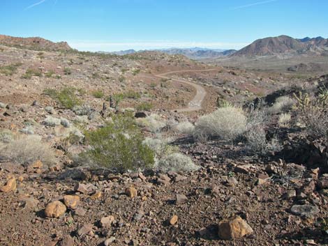
 Scenery (view N down hillside) |
 Hikers on main trail (view E) |
 Hikers at Mile Marker 4 (view NE) |
 Mile Marker 4 (view SE) |
 Hikers climbing towards ridgeline (view E) |
 Hikers at East Overlook trail junction (view E; no sign) |
 Hikers descending rocky hillside beyond ridgeline (view E) |
 Trail descends rocky hillside (view E) |
 Hikers passing Mile Marker 3 (view NE) |
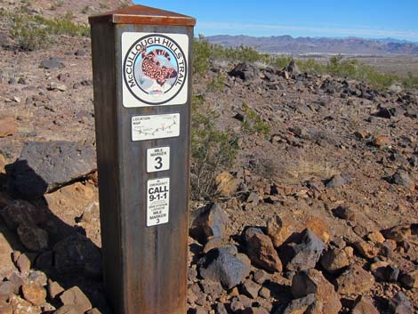 Mile Marker 3 (view NE) |
 Hikers descending across hillsides (view E) |
 Hikers descending across hillsides (view NE) |
 Hikers arriving at shade structure (view E) |
 Hikers at shade structure (view E) |
 Hikers descending gentle hillsides (view NE) |
 Hikers passing trail marker (view NE) |
 Hikers passing Mile Marker 2 (view E) |
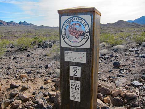 Mile Marker 2 (view S) |
 Hikers crossing broad, sandy wash (view NE) |
 Hikers crossing broad, sandy wash again (view N) |
 Hikers on gentle trail (view NE) |
 Hikers crossing narrow wash (view NW) |
 Hikers on gentle trail (view N) |
 Hikers on gentle trail (view NE) |
 Hikers beyond Mile Marker 1 (view NE) |
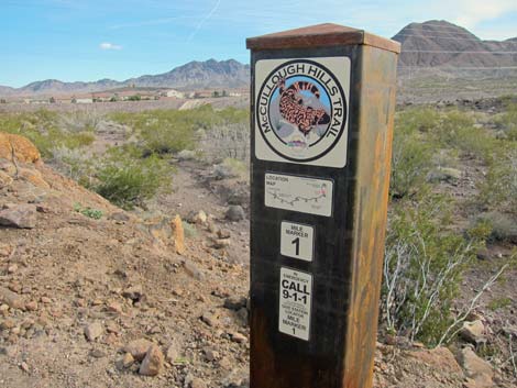 Mile Marker 1 (view SE) |
 Hikers crossing powerline road at end of ridge (view E) |
 Hikers turning into final canyon (view NW) |
 Hikers climbing gently towards final highpoint (view NW) |
 Hikers descending from highpoint (view NE) |
 Approaching the McCullough Hills Trailhead (view NE) |
 Detour to horse section of the McCullough Hills Trailhead (view NE) Detour to horse section of the McCullough Hills Trailhead (view NE) |
 Arriving at the McCullough Hills Trailhead (view NE) |
 Arriving at the McCullough Hills Trailhead (view NE) |
Table 1. Hiking Coordinates and Distances based on GPS Data (NAD27; UTM Zone 11S). Download Hiking GPS Waypoints (*.gpx) file.
| Wpt. | Location | UTM Easting | UTM Northing | Elevation (ft) | Point-to-Point Distance (mi) | Cumulative Distance (mi) | Verified |
|---|---|---|---|---|---|---|---|
| 01 | Anthem Hills Trailhead Trailhead | 672853 | 3983550 | 2,587 | 0.00 | 0.00 | Yes |
| 01A | Trailhead Alternate | 672848 | 3983413 | 2,591 | . | . | GPS |
| 02 | Poppy Trail Junction | 672859 | 3983562 | 2,587 | 0.01 | 0.01 | GPS |
| 03 | T-intersection | 672959 | 3983495 | 2,617 | 0.17 | 0.18 | GPS |
| 04 | Paved Trail Ends | 672930 | 3983392 | 2,616 | 0.08 | 0.26 | GPS |
| 05 | McCullough Hills Trail Sign | 672921 | 3983376 | 2,615 | 0.01 | 0.27 | GPS |
| 06 | Paved Trail Junction | 673138 | 3983327 | 2,674 | 0.14 | 0.41 | GPS |
| 07 | Paved Trail Junction | 673322 | 3983276 | 2,732 | 0.12 | 0.53 | GPS |
| 08 | Spur Trail | 673663 | 3983159 | 2,781 | 0.23 | 0.76 | GPS |
| 09 | Anthem East Trail Junction | 673697 | 3983129 | 2,796 | 0.03 | 0.79 | GPS |
| 10 | Depart Powerline Road | 673735 | 3983104 | 2,811 | 0.03 | 0.82 | GPS |
| 11 | Trail Forks | 673741 | 3983118 | 2,795 | 0.01 | 0.83 | GPS |
| 12 | Trail Forks | 673766 | 3983126 | 2,830 | 0.02 | 0.85 | GPS |
| 13 | Mile Marker 7 | 674229 | 3982905 | 2,897 | 0.38 | 1.23 | GPS |
| 14 | Trail Forks | 674377 | 3982791 | 2,917 | 0.13 | 1.36 | GPS |
| 15 | Trail Forks | 674378 | 3982803 | 2,938 | 0.01 | 1.37 | GPS |
| 16 | Wash Crossing | 675247 | 3982557 | 2,916 | 0.62 | 1.99 | GPS |
| 17 | Powerline Road | 675504 | 3982578 | 2,968 | 0.21 | 2.20 | GPS |
| 18 | Mile Marker 6 | 675594 | 3982538 | 2,969 | 0.06 | 2.26 | GPS |
| 19 | Wash Crossing with Road | 676227 | 3982400 | 3,024 | 0.45 | 2.71 | GPS |
| 20 | Highpoint with Shade | 676371 | 3982522 | 3,117 | 0.30 | 3.01 | GPS |
| 21 | Mile Marker 5 | 676499 | 3982778 | 3,084 | 0.32 | 3.33 | GPS |
| 22 | Trail Junction | 676835 | 3982903 | 3,124 | 0.30 | 3.63 | GPS |
| 23 | West Overlook | 676630 | 3983073 | 3,167 | . | . | GPS |
| 24 | Highpoint on Trail | 677003 | 3982866 | 3,131 | 0.12 | 3.75 | GPS |
| 25 | Mile Marker 4 | 677085 | 3983224 | 3,023 | 0.61 | 4.36 | GPS |
| 26 | Trail Junction | 677873 | 3983227 | 3,098 | 0.62 | 4.98 | GPS |
| 27 | East Overlook | 677980 | 3983305 | 3,155 | . | . | GPS |
| 28 | Mile Marker 3 | 678430 | 3983219 | 2,976 | 0.53 | 5.51 | GPS |
| 29 | Shade Structure | 678888 | 3983289 | 2,852 | 0.40 | 5.91 | GPS |
| 30 | Mile Marker 2 | 679469 | 3983519 | 2,762 | 0.50 | 6.41 | GPS |
| 31 | Crossing Broad Wash | 679633 | 3983569 | 2,725 | 0.13 | 6.54 | GPS |
| 32 | Crossing Broad Wash | 680073 | 3983735 | 2,672 | 0.32 | 6.86 | GPS |
| 33 | Crossing Narrow Wash | 680173 | 3983815 | 2,659 | 0.10 | 6.96 | GPS |
| 34 | Mile Marker 1 | 680497 | 3984207 | 2,613 | 0.46 | 7.42 | GPS |
| 35 | Powerline Road | 680605 | 3984281 | 2,595 | 0.09 | 7.51 | GPS |
| 36 | Powerline Road | 680614 | 3984304 | 2,612 | 0.02 | 7.53 | GPS |
| 37 | Wash Crossing | 680439 | 3984504 | 2,613 | 0.19 | 7.72 | GPS |
| 38 | Highpoint | 680257 | 3984913 | 2,615 | 0.34 | 8.06 | Map |
| 39 | McCullough Hills Trailhead Trailhead | 680514 | 3985381 | 2,513 | 0.38 | 8.44 | Yes |
Happy Hiking! All distances, elevations, and other facts are approximate.
![]() ; Last updated 240330
; Last updated 240330
| Hiking Around Sloan Canyon | Hiking Around Las Vegas | Glossary | Copyright, Conditions, Disclaimer | Home |