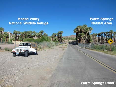
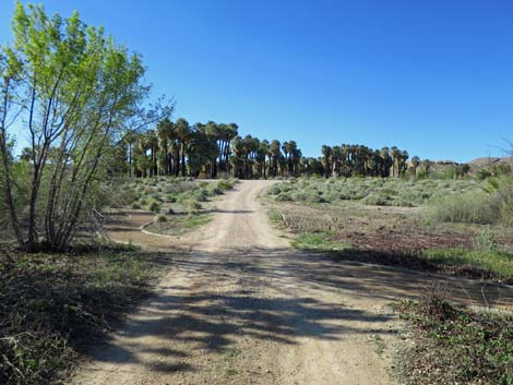
 Warm Springs Rd approaching Moapa NWR, on the left (view NW) |
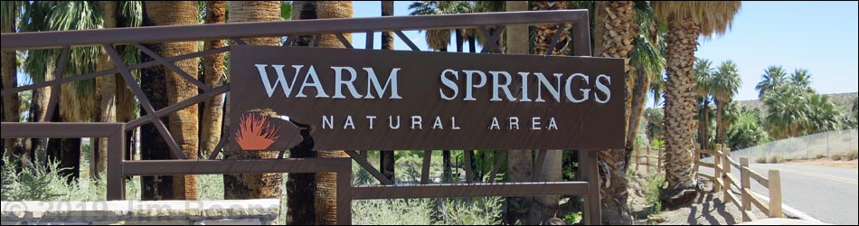
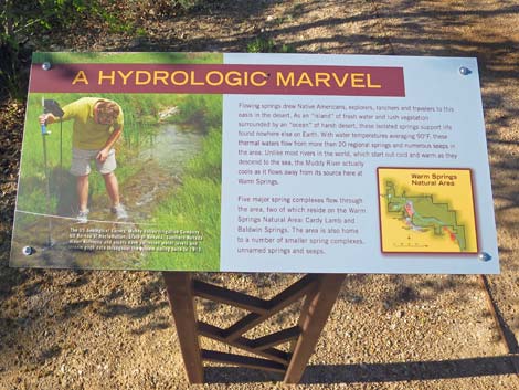
Description Warm Springs Natural Area (WSNA) is a 1,250-acre nature reserve in the upper Moapa Valley. Once owned by Howard Hughes, the area is now owned by the Southern Nevada Water Authority (SNWA), the main agency supplying water to the Las Vegas valley. The area features more than two dozen bubbling springs, rushing streams, and lush wetlands, and it is home to 28 sensitive species, including Moapa Dace, and more than 200 species of birds (download bird list). A Short Trail and a Long Trail guide visitors through the area. Moapa Valley is a broad, flat area of dry Mojave Desert Scrub set between limestone mountain ranges. In that area, water emerges from five main spring-complexes, including warm water springs (about 90°F). Water from the springs converges downstream to form the Muddy River (a stream, but a river in arid Nevada), which flows to the Virgin River and then to Lake Mead. All of this creates some 1,000 acres of riparian habitat. Link to Area Map, Site Map, Trails Map, or interactive WSNA map. |
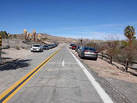
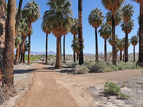
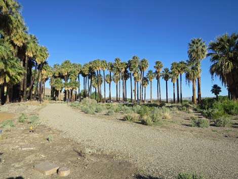
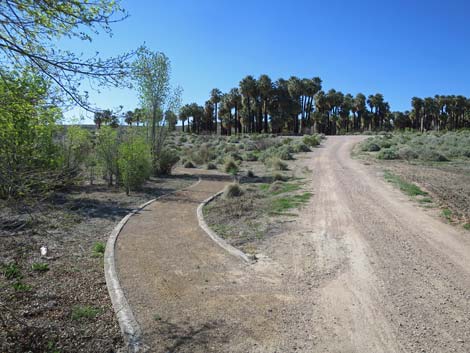
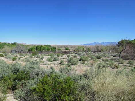
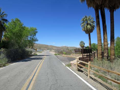 Warm Springs Rd approaching WSNA, on the right (view NW) Warm Springs Rd approaching WSNA, on the right (view NW) |
People have lived and farmed the Moapa Valley for thousands of years, and much of the land is still used for farming and pasture. Much of the rest is covered in dense thickets of honey mesquite and other desert shrubs, plus many fan palms and date palms, although a 680-acre fire in 2010 cleared out much of the overgrown vegetation. The five main spring-complexes (about 25 individual springs), emerge from a deep aquifer. Water in the aquifer comes from rain and snow that fell in eastern Nevada thousands of years ago and traveled underground for hundreds of miles before emerging at Warm Springs. Of the five spring-complexes, two (Cardy Lamb and Baldwin springs) are located on the WSNA property. The largest spring, Big Muddy Spring, is located in a private recreation area owned by the Mormon Church. The two remaining springs, Pederson and Plummer springs, are located across the road on Moapa Valley NWR. Despite political boundaries, all of the springs and all of the riparian areas combine to make for great birding in this otherwise arid land. |
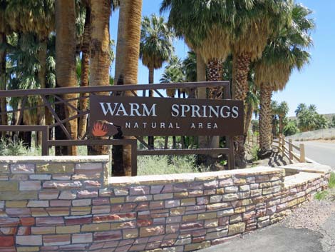
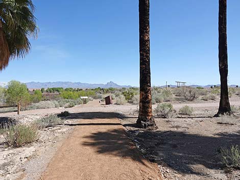
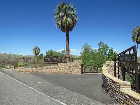 Warm Springs Rd at WSNA entrance (view NW) |
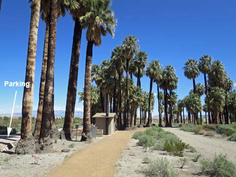
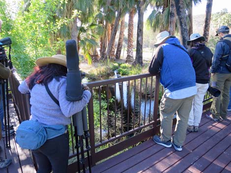
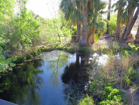
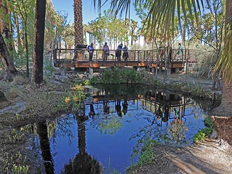
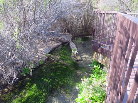
Visitors to WSNA can explore two trails, totaling about 2/3-miles that meander through woodlands along two spring-fed streams. The Short Trail stays in the vicinity of the picnic area and provides an easy stroll under palm trees to a warm spring, while the Long Trail provides the same plus a longer hike along a stream. For birdwatching and sightseeing, the trails include information kiosks, benches, and a viewing deck. This is also a good place for watching dragonflies. When WSNA is closed, visitors can bird the area by walking or driving the roads, being careful of the traffic. Warm Springs Road is posted at 25 mph, but don't bet your life that people will drive the speed limit. The shoulders are narrow, so pay attention to the traffic. Traffic generally is light, so you can bird the rest of the valley by driving slowly and stopping to investigate interesting spots from the road. The Upper Moapa Valley suffered a huge fire that killed many of the palms and cleared out many of the shrub thickets. The area is now more open, so in some ways it is easier to bird, especially from the road. |
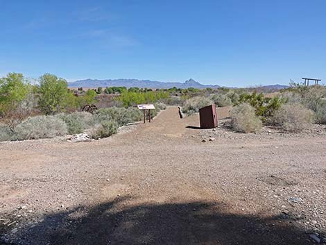
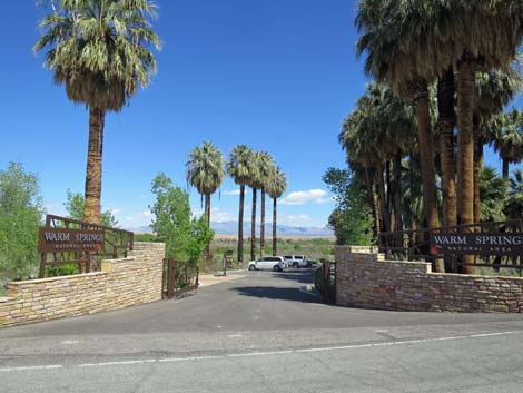 WSNA entrance (view NE from Warm Springs Road) |
Location The WSNA is located northwest of Glendale, about 1 hour from Las Vegas. To get there from Las Vegas, drive north on Highway I-15 to the Moapa-Glendale exit (Exit 90; Table 1, Site 0879). Exit the Interstate and drive northwest on Highway 168 for 7.1 miles to Warm Springs Road (Site 0898). Turn left (southwest) onto Warm Springs Road and drive 1.9 miles. The road passes the entrance to Moapa Valley NWR on the left, then arrives at WSNA (Site 1909) on the right. If the area is open, turn right into the parking lot, otherwise, park off the roadway and bird over the fence. For some variety on the way home, continue driving northwest on Warm Springs Road until it intersects Highway 168 again. Turn left (northwest) and drive 14 miles to Highway 93. Turn left (south) and head back to Interstate-15. These roads traverse beautiful desert landscapes. The land south of Highway 168 and east of Highway 93 is the Arrow Canyon Wilderness Area. |
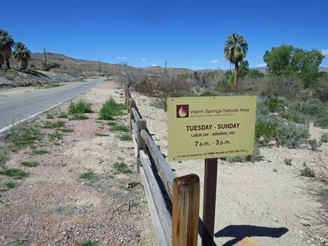 Entrance sign with open hours (view NW) |
Hours WSNA is open during the cool season and closed during summer. The area opens for the season on Labor Day (early September) as the summer heat begins to abate, and it closes on Memorial Day (late May) as temperatures start to become uncomfortable. WSNA is open Tuesday through Sunday, 7am to 3pm, except for days around Thanksgiving, Christmas, and New Year holidays. The area is closed Mondays. See the WSNA website for details. The road is always open for birding over the fence, but it probably should be considered day-use only. The Wildlife Refuge, across the street from WSNA, is open Friday, Saturday, and Sunday from September through May. The refuge is closed during summer. Fees None. |
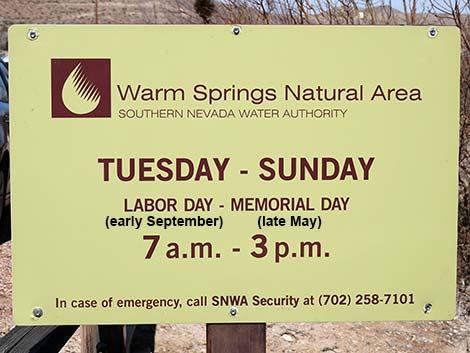 Entrance sign with open hours (view NW) |
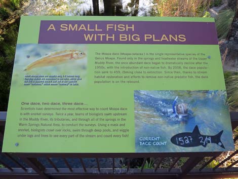
Specialties The area is good for desert species such as Phainopepla, Abert's Towhee, Verdin, Black Phoebe, Gambel's Quail, and Lucy's Warbler, plus migrants such as Red-shouldered Hawk, Killdeer, Hooded Oriole, sparrows, and warblers. Watch for the endemic fish (Moapa Dace, Moapa White River Springfish) and snails (Moapa Pebblesnails) too. This is also a good place to see dragonflies. |
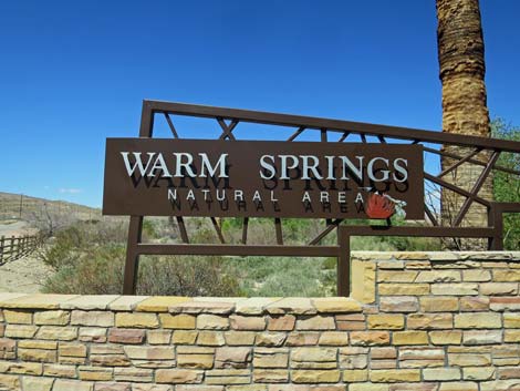 Entrance sign, west side (view NW) |
 Entrance sign, east side (view SE) |
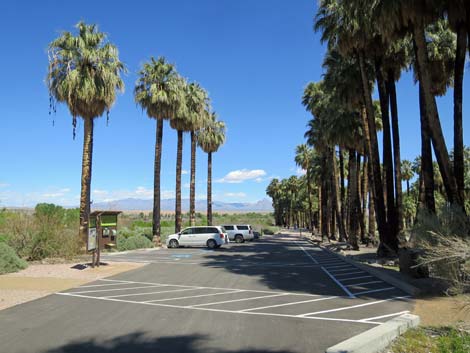 Entering WSNA parking area (view NE) |
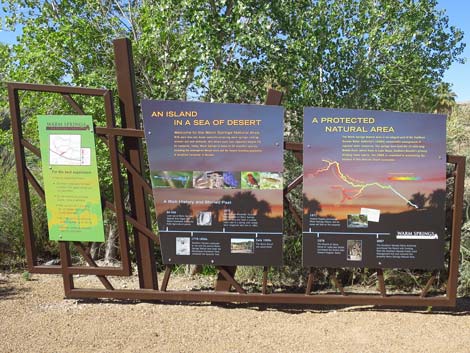
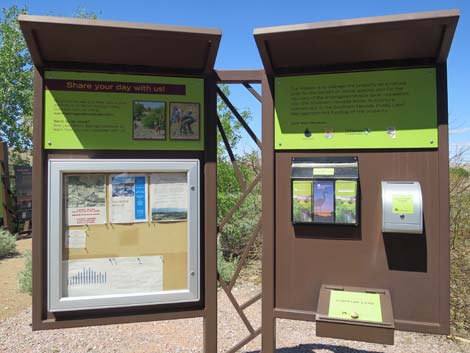 Information signs at edge of WSNA parking area (view NW) |
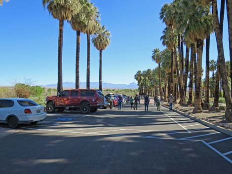 Birders at WSNA parking area (view NE) |
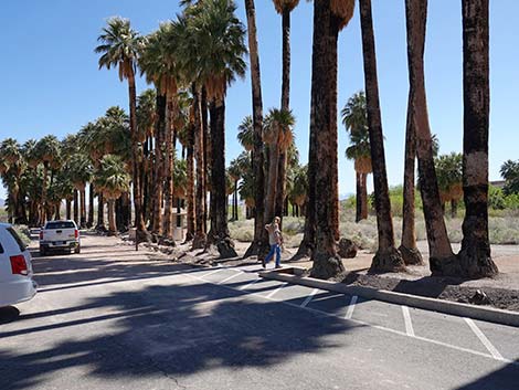
 Extra parking along the highway just past the turnoff (view NW) |
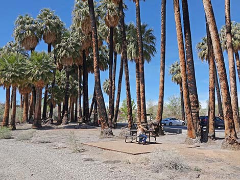 Picnic tables adjacent to parking lot |
 Picnic tables adjacent to parking lot |
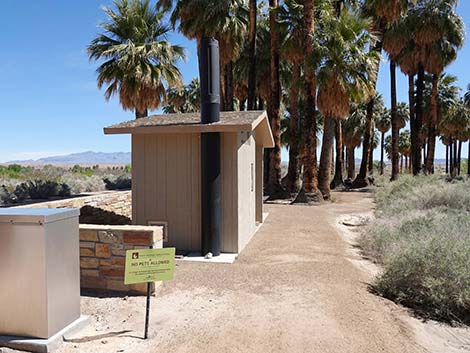
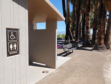
 Toilet adjacent to parking lot |
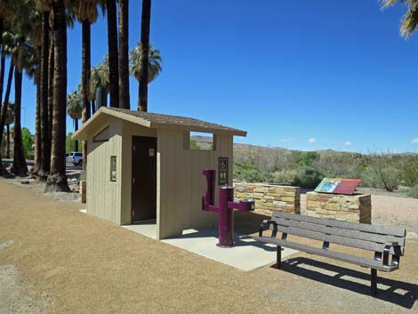 Toilet adjacent to parking lot |
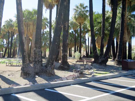
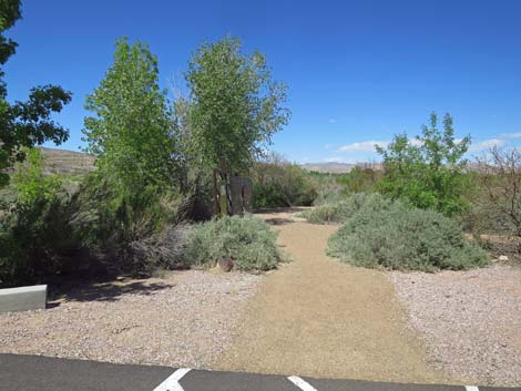
 Parking and lower entrance to the short trails (view E) |
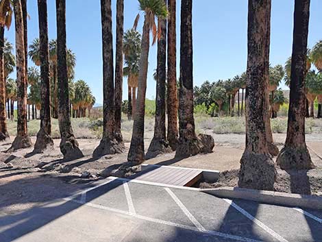 Lower entrance to the short trails (view E) |
 |
 |
 |
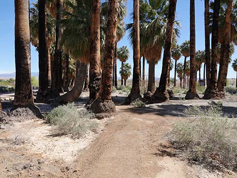 |
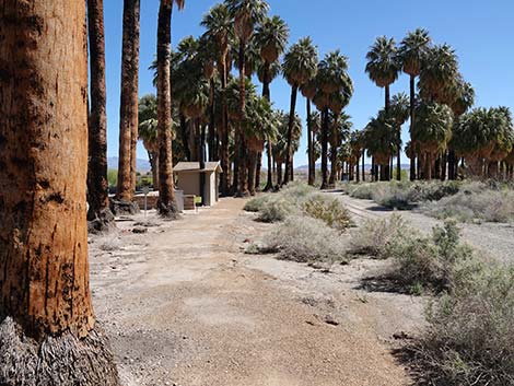
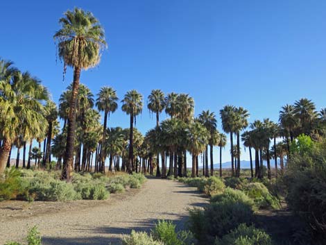
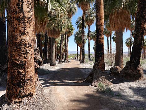 Trail runs through palm grove (view NE) |
 Intersection: right to spring pool (view NE) |
 Approaching service road (view NE) |
 Trail crosses service road to overlook (view NE) |
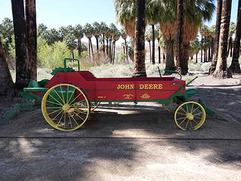
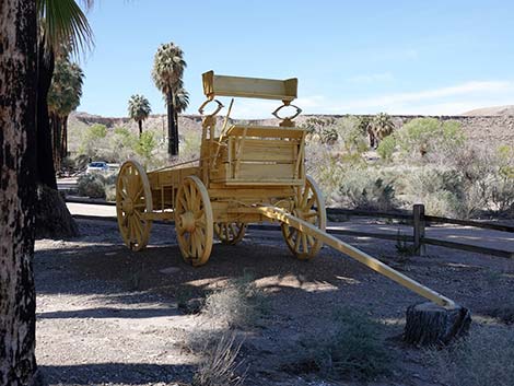 Historical wagon |
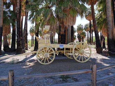 Historical wagon |
 Historical tractor |
 Historical tractor |
 Parking lot at upper entrance to the short trails (view SE) |
 Trail to the spring pool (view SE) |
 Looking back: trail from the parking lot (view NW) |
 Information sign along trail |
 Stream overlook |
 Stream pool |
 Information sign at stream overlook |
 Stream pool and overlook platform |
 Foot trail parallels stream |
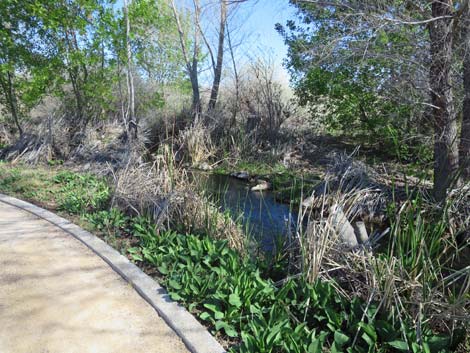
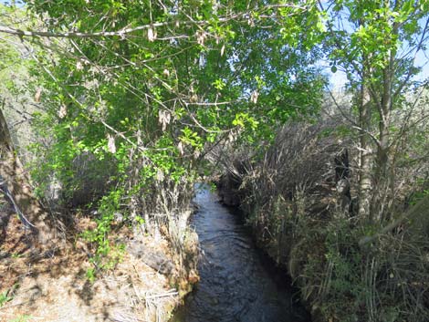 Stream and riparian vegetation |
 Trail at edge of open area |
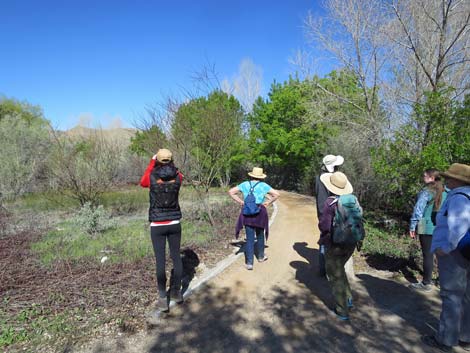 Birders on trail |
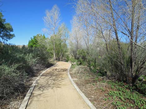 Foot trail parallels stream |
 Foot trail parallels stream |
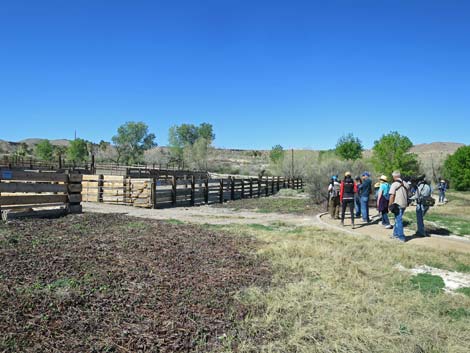 Birders at the replica corral area |
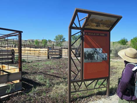 Information sign at the replica corral area |
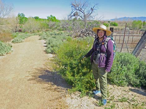 The weeds grow tall here! |
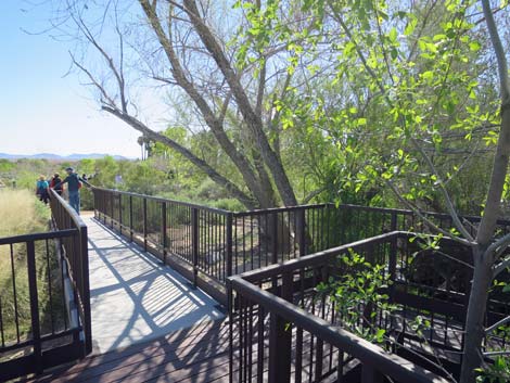 Elevated trail overlooking a stream area |
 Elevated trail overlooking a stream area |
 Open scrub desert habitat |
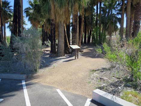
 Information sign seen when approaching parking lot |
 End of trail (view NW from parking lot) |
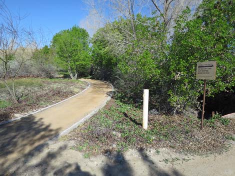
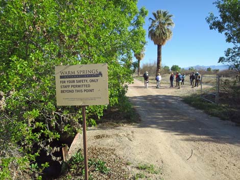 Escorted birders passing the "do not enter" sign (view NE) |
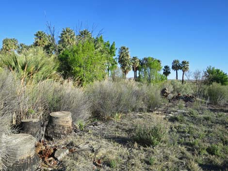 Brushy habitat and palm tree stumps |
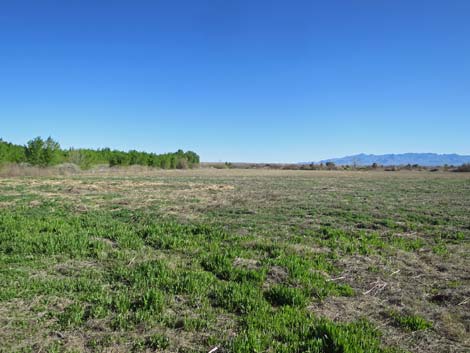
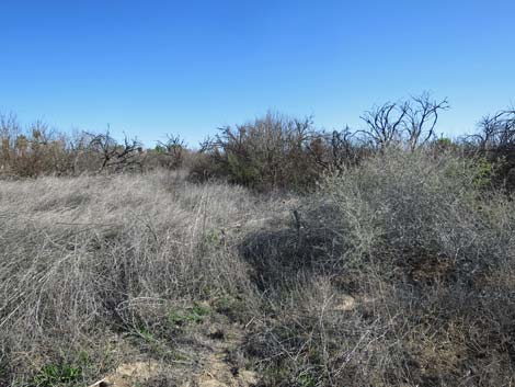 Brushy habitats are good for sparrows |
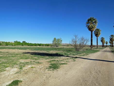 Open habitats are good for swallows, meadowlarks, and horned larks |
 |
 |
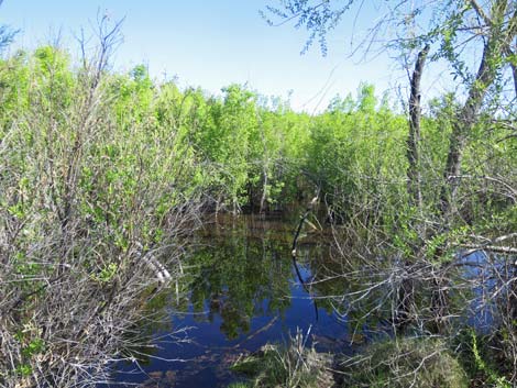
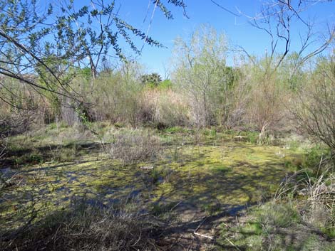 Flooded, ash pond area (good for Southwestern Willow Flycatcher) |
 Flooded, ash pond area |
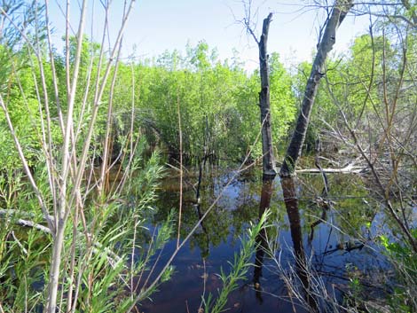
 Flooded, ash pond area |
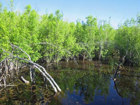 Flooded, ash pond area |
Table 1. GPS Coordinates for Highway Locations (NAD27; UTM Zone 11S). Download Highway GPS Waypoints (*.gpx) file.
| Site | Location | UTM Easting | UTM Northing | Latitude (N) | Longitude (W) | Elevation (ft) |
|---|---|---|---|---|---|---|
| 0449 | Moapa NWR | 704440 | 4064990 | 36.71044 | 114.71119 | 1,772 |
| 0879 | I-15 at Hwy 168 (Glendale) | 716892 | 4059769 | 36.66065 | 114.57337 | 1,542 |
| 0898 | Hwy 168 at Warm Springs Rd (S) | 707249 | 4065385 | 36.71338 | 114.67965 | 1,716 |
| 1909 | Warm Springs Natural Area | 704319 | 4065120 | 36.71163 | 114.71251 | 1,778 |
Happy birding! All distances, elevations, and other facts are approximate.
![]() ; Last updated 240323
; Last updated 240323
| Birding Around Las Vegas | Southern Nevada Birds | Guide Service | Copyright, Conditions, Disclaimer | Home |