Backroads Around Las Vegas
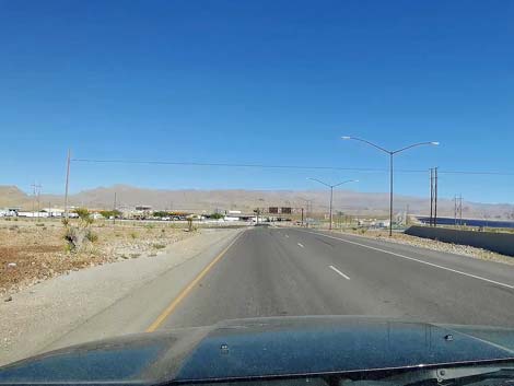
 Interstate 15 approaching Highway 93 exit (view NE) |
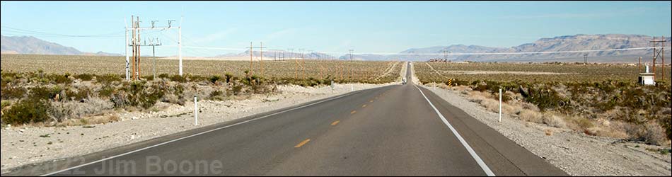
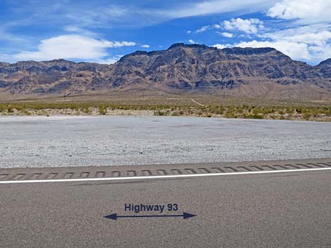
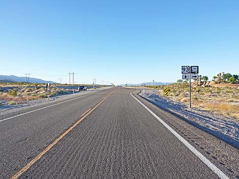
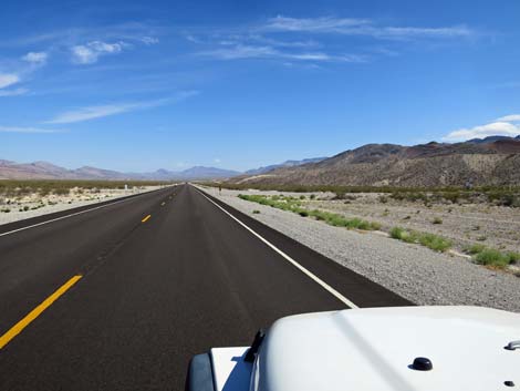
Overview U.S. Highway 93 isn't really a "backroad," but it provides access to many of the places and backroads we love. The highway is long and mostly straight, with a speed limit of 70 mph. Gas, food, and supplies are scattered along at intervals of about 80-100 miles as the highway runs north through eastern Nevada. Highway 93 provides access to hikes in the Arrow Canyon Range, Desert National Wildlife Range, Pahranagat National Wildlife Refuge, various Wilderness areas, plus access to some amazing rock art sites in Lincoln County and even a nice trilobite quarry. Excellent birding opportunities can be found in the Pahranagat National Wildlife Range and Key-Pittman Wildlife Management Area. Link to Road Map. |
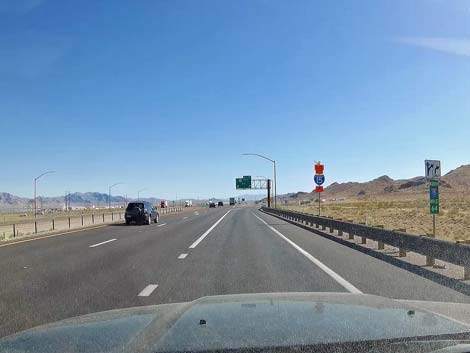
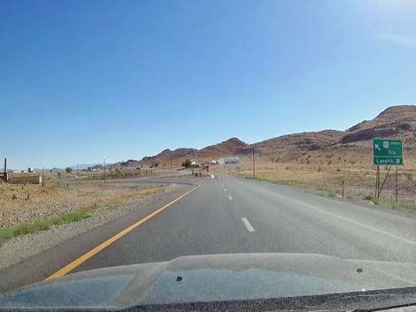
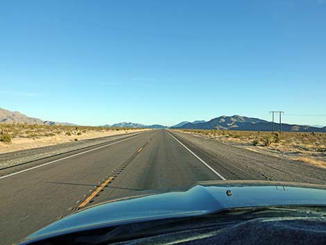
 Interstate 15 exiting onto Highway 93 (view NE) |
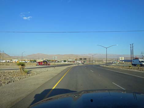
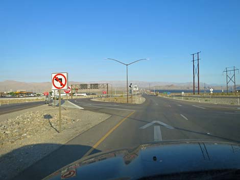
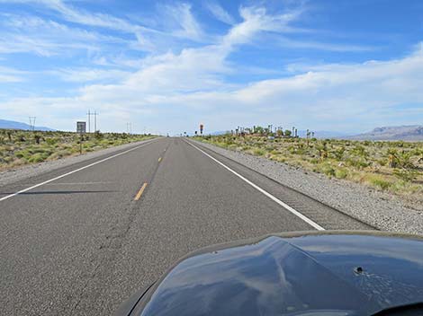
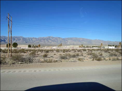
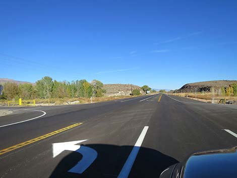
U.S. Highway 93 from Interstate 15 to Alamo Great Basin Highway separates from Interstate-15 at the exit for the regional landfill. At the bottom of the exit ramp (Table 1, Site 0674), the road to the right runs towards the county landfill; if you are hungry, consider stopping at the food truck parked on the right. They make a mean breakfast burrito. Turning left and driving under the interstate, there is a wide parking area on the right. Beyond the asphalt, several yards out in the desert, there is an information sign and historical marker for the Old Spanish Trail. Stop of a few minutes and read about the history of this lands. Love's Truck Stop comes into view ahead on the left at an introduction to the Apex Industrial area. The next gas and food are about 75 miles up the road, and the next toilets are 65 miles up the road, so stop and use them if you need them. |
 Two exit lanes (view NE) |
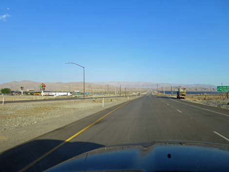
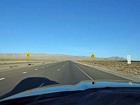
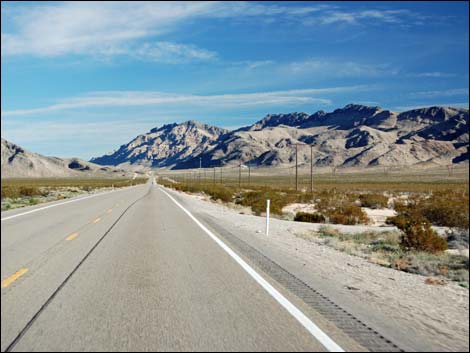
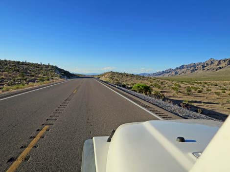
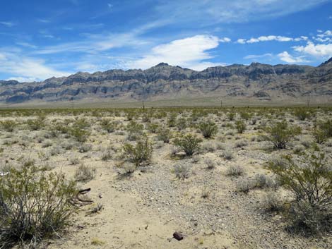
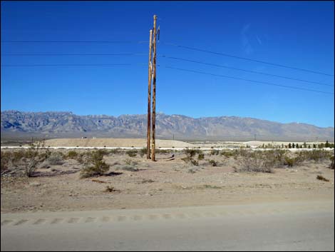
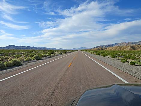
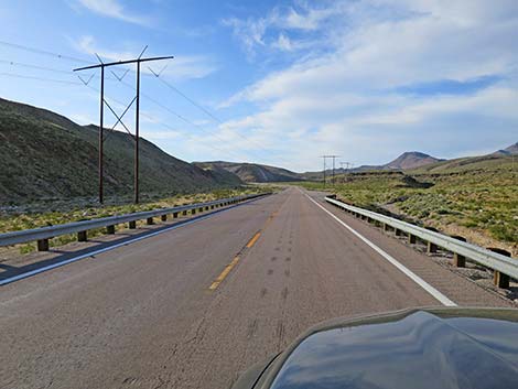
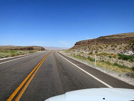
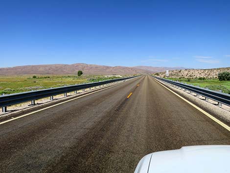
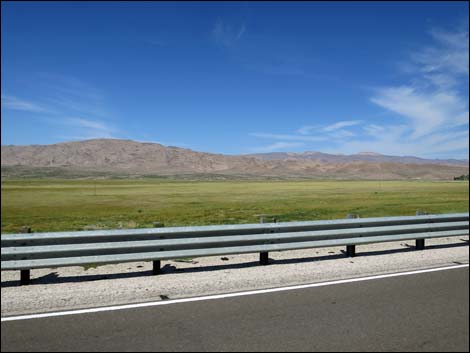
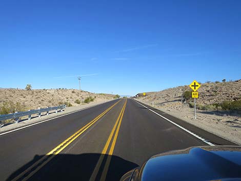
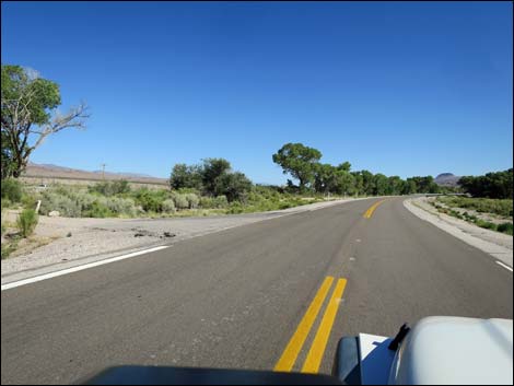
Highway 93 heads north, climbing gently up an alluvial fan and passing power plants on both sides of the road. Some are natural-gas fired plants, but others are solar. Leaving the Apex area, the highway passes through a gap in the low mountains, bends a bit to the right, and heads out across Hidden Valley and into the wilds of central Nevada. The Great Basin Highway runs north-northeast across the long flat valley. The mountains to the east are the Arrow Canyon Range; those to the west are the Las Vegas Range and are inside the Desert National Wildlife Range. Old fire scars on the landscape, mostly on the west side of the highway in the wildlife refuge, but also on the east side, date from 2005 and 2006, two very bad years for wildfire in the desert. The highway runs straight, then touches crags on the left. The rocky crags are part of the Las Vegas Range. The highway bends a bit to the left, and by this time, the Arrow Canyon Range is protected from development inside the Arrow Canyon Wilderness Area. High-tension powerlines, seen across the valley, run near the edge of the wilderness area. |
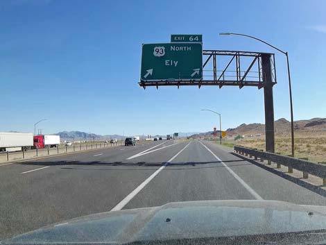
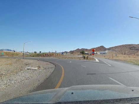
 Two lanes left towards Ely; right to landfill (view NE) |
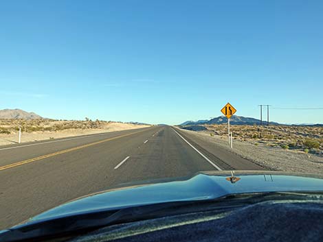
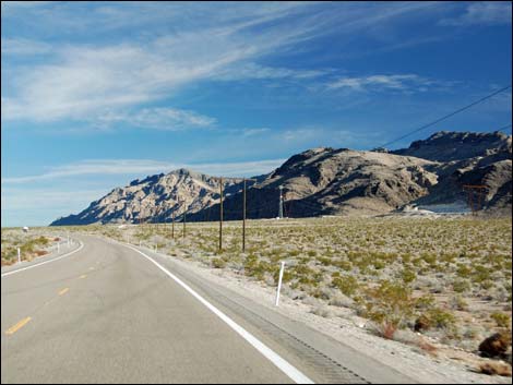
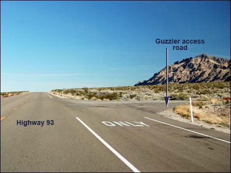
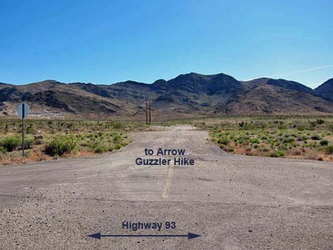
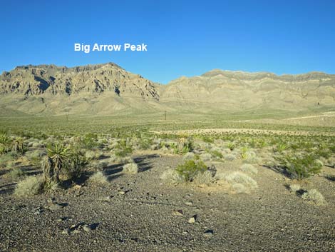
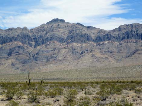
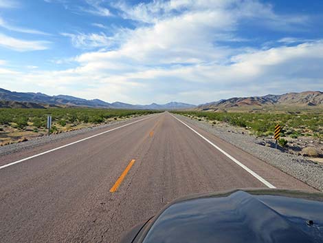
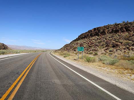
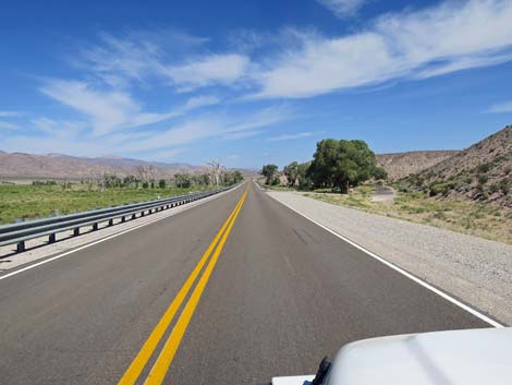
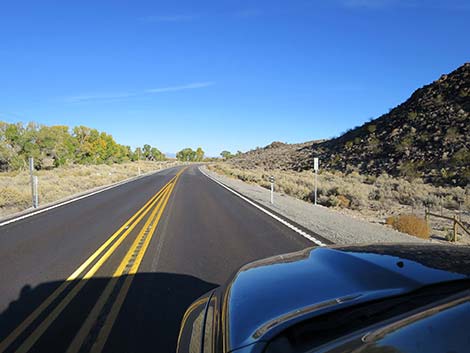
Just after the bend, a cell tower and a white mine scar can be seen ahead on the right at the base of the mountains. The turnoff (Site 1026; 16.4 miles out) and short road into this area provides access to southern parts of the Arrow Canyon Range and a nice hike in the hills to Arrow Guzzler. In this area, the boundary of the wildlife refuge, on the left, comes down from the hills and parallels the highway. White signs, some distance off, can be seen to mark the boundary. As the highway runs down into Coyote Springs Valley, trailhead parking for two hikes in the Arrow Canyon Range are passed. The first is the trailhead for Big Arrow Peak (Site 0876), the highpoint of the range; the second is for Peak 5146 and Hidden Peak (Site 0880). Highway 93 continues north, northwest for several miles. With good afternoon lighting, the banded west face of the Arrow Canyon Range is one of the most impressive geological sights in southern Nevada. Perhaps equally impressive but in a different way, Arrow Canyon, proper, is on the other side of the mountains. |
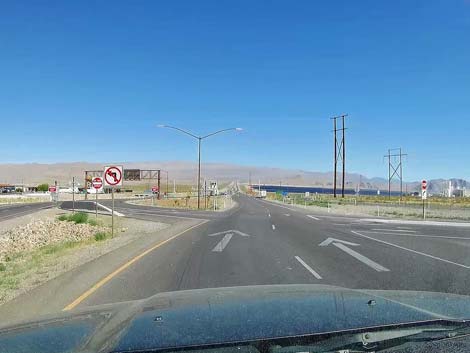
 Staying left towards Ely (view NE) |
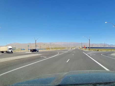
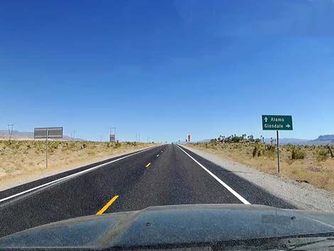
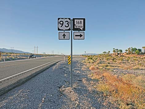
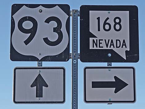
Eventually, for the first time since leaving the Apex area, powerlines cross the highway. At this point (Site 0649), a dirt road turns left. Without signs or other warning, this is the north end of Mormon Well Road, which crosses the wildlife refuge to emerge from the wild lands some 40 miles away at Corn Creek, an oasis and birdwatching hot spot. The highway passes a power substation on the right, and in about 2 miles, the high-tension powerlines that were on the east side of the valley cross to the west side of the road. Shortly thereafter, Highway 93 passes a T-intersection with Highway 168 (30.7 miles out). Highway 168 provides access to the now defunct Coyote Springs City development, a golf course, the town of Warm Springs, the east side of the Arrow Canyon Range, Moapa National Wildlife Refuge, and the towns of Moapa and Glendale down on Interstate 15. |
 Crazy intersection: watch for traffic merging from the right (view N) |
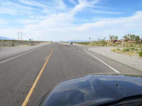
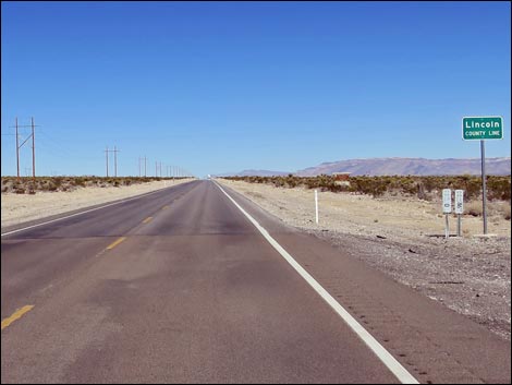
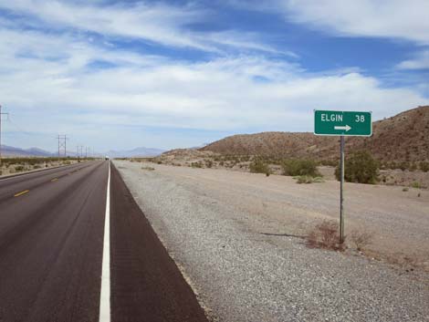
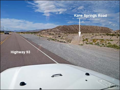
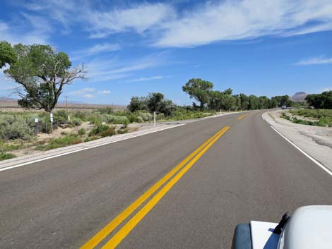
Continuing north and up Coyote Springs Valley, the mountains to the west are the Sheep Range, still inside Desert National Wildlife Range, and the mountains to the east are the Meadow Valley Range, the higher elevations of which are in the Meadow Valley Range Wilderness Area. In the near ground on both sides of the highway, habitat damage and dead palm trees are all that remain of the defunct Coyote Springs City development. Just beyond the last of Coyote Springs (nearly 4 miles long), Highway 93 crosses the Clark-Lincoln County line (34.5 miles out). Continuing north, the highway passes a T-intersection with Kane Springs Road (Site 1549), a long dirt road that runs east and can be used as a backroad (certainly not a shortcut) to the city of Caliente. Shortly thereafter, the highway passes, on the left, an old ranch that has been converted to a poorly regulated landfill. I hate to think of how the dump will affect groundwater in the years to come. Rumors abound about buried radioactive waste and toxic chemicals where only construction debris should be dumped. |
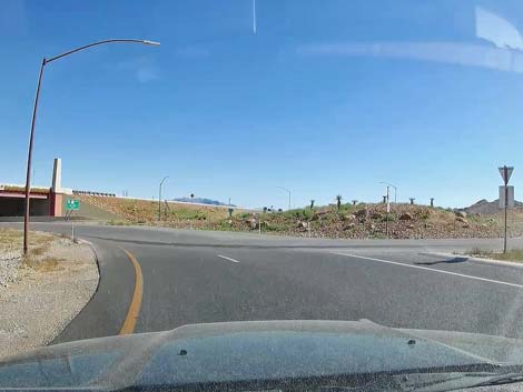
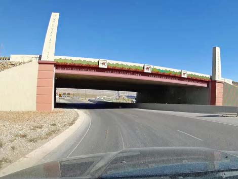 Highway 93 curves under Interstate 15 (view NW) |
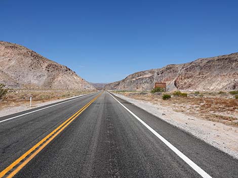
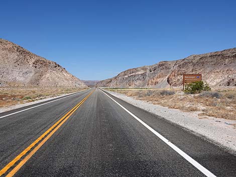
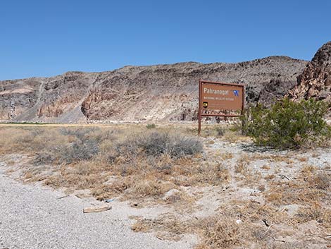
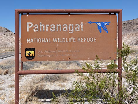
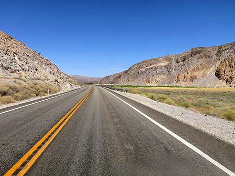
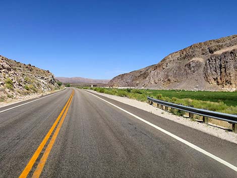
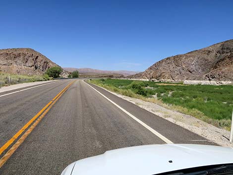
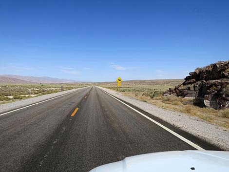
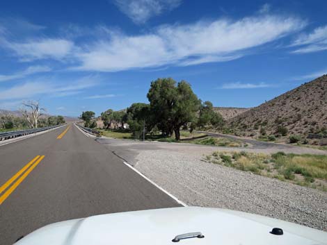
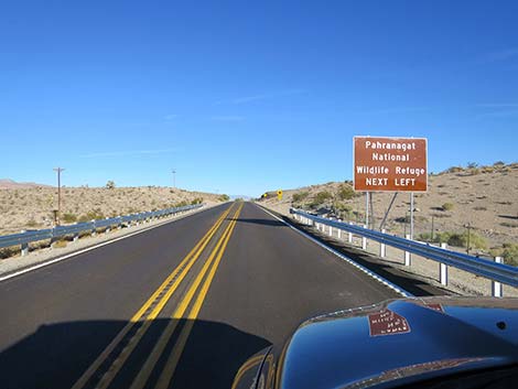
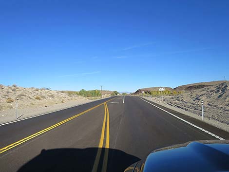
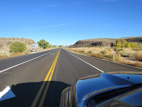
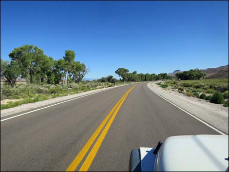
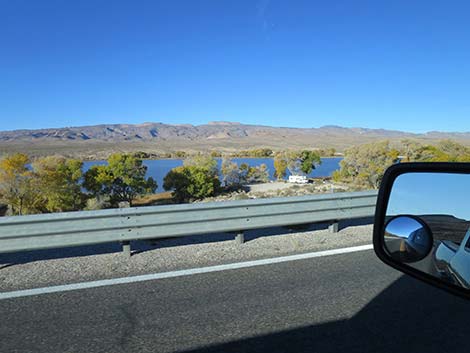
The highway continues north. The mountains on the right are now the Delamar Range, and as before, the higher elevations of the southwest portion of the Delamars are protected as the Delamar Mountains Wilderness Area. The highway continues northward into the end of Coyote Springs Valley, and when the rock walls begin to pinch the road, the highway abruptly bends left into a fairly narrow canyon. Here, about 58 miles out, the highway enters Pahranagat National Wildlife Refuge and passes a dry lake (Maynard Lake) on the right and a spring with a cottonwood tree on the left. Shortly, the road emerges from the narrows into the expansive Pahranagat Valley. Here, the wildlife refuge manages the lowlands for the next 10 miles. The highway passes Lower Lake (during winter, a long, narrow lake; during summer, a long, narrow mudflat), which has a nice unpaved overlook where winter birders can stop and look over the lake. |
 Highway 93 emerging from under Interstate 15 (view NW) |
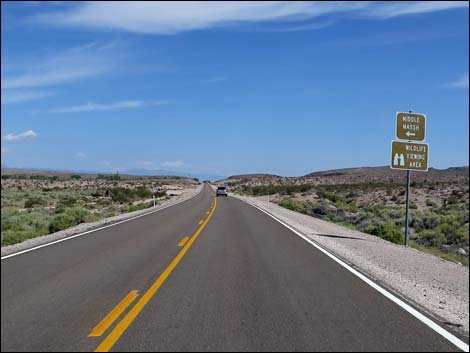
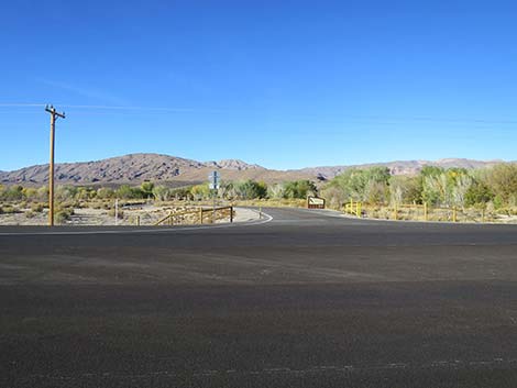
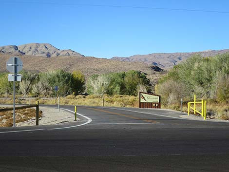
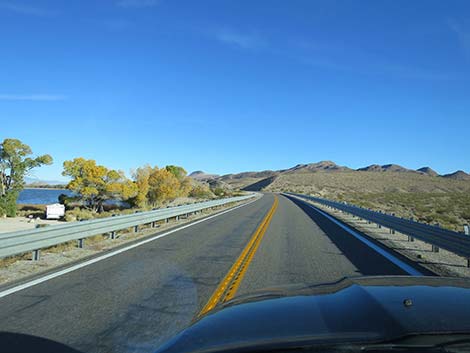
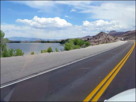
About 1/2 miles past the overlook, a shady roadside rest on the right invites tired travelers to stop and stretch for a few minutes. There are no toilets, but those in need can continue north another 3 miles to a turnoff (Site 0486; 66 miles out) to Pahranagat NWR Visitor Center (Site 0491). For birders, be sure to stop before getting to the visitor center and look over Middle Marsh for raptors. Shortly beyond the turn to the visitor center, Old Corn Creek Road (Site 0871) turns left and runs out many miles to Tikaboo Peak. For sturdy hikers, Tikaboo offers the only legal view down into Area 51, the super-top-secret military airbase where the U.S. government is said to keep the captured bodies of aliens, experiment with recovered alien technology, and who knows what else. Highway 93 continues north, passing on the hillside above the east edge of Upper Lake. The campground between the road and the lake is surprisingly quiet at night given the proximity to the highway. Access to the campground (Site 0701) is a bit beyond the north end of the lake, which also is just past the end of the wildlife refuge. |
 Old Spanish Trail marker and information kiosk (view N) |
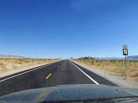
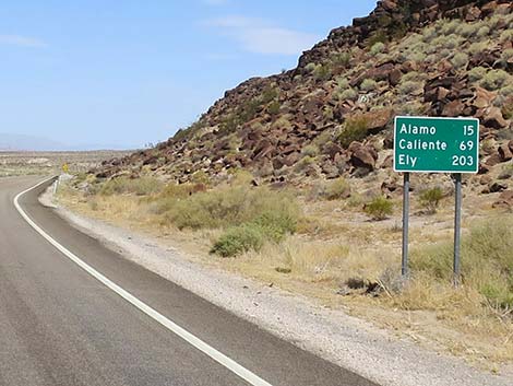
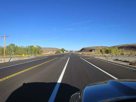
Outside the refuge, the highway passes farms and pasture lands operated by some of the original Nevada settler families (of course, the lands were already occupied, but that is a different story). Houses become more frequent and small businesses start to appear, and passing a large water tank on the left (Go Pahranagat Panthers!), the road drops into the heart of the business district in the town of Alamo (Site 0675; 73 miles out). Although small, Alamo is a full-service town where travelers can find everything they need, except perhaps open wifi. The gas station includes the typical mini-mart with clean restrooms, but also a full grocery store with some hot food. A bit farther up the highway, the Alamo Inn (sign only says "motel") is located on the left. For the next highway section northbound, see U.S. Highway 93 Northbound -- Alamo to Highway 318. |
 Crazy intersection: roads south on both sides of northbound lanes |
 Crazy intersection: watch for cross traffic going the wrong way |
 No left turn here into the gas station! (view NW) |
 Highway 93: the crazy lanes have returned to normal (view NW) |
 Highway 93 a left turn to truck stop (view NW) |
 Left turn to truck stop (view SW from Highway 93) |
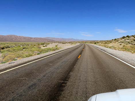
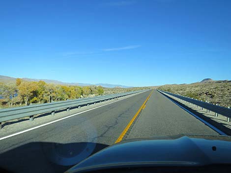
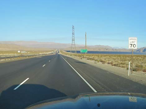 Speed limit bumps to 70 mph (view N) |
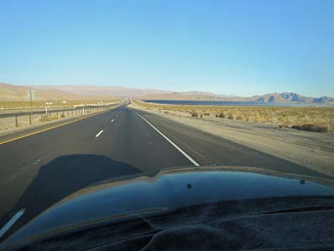 Endless acres of solar panels on the east side of the highway |
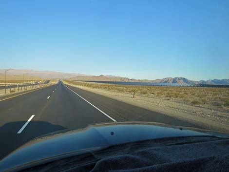 Endless acres of solar panels on the east side of the highway |
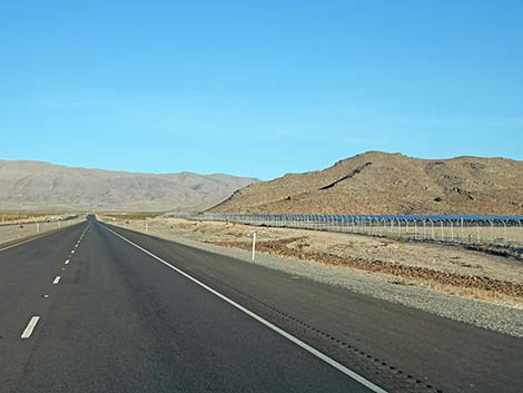 Endless acres of solar panels on the east side of the highway |
 Divided highway ending (view NW) |
 Divided highway ends (view N) |
 Two lanes uphill continues (view N) |
 Two lanes merging down to one (view N) |
 Down to a regular, 70-mph two-lane Nevada highway (view N) |
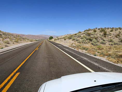
 Traversing Hidden Valley; Arrow Range on the right (view N) |
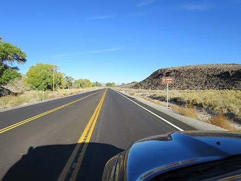
 Cell tower and mine scar on the right (view N) |
 Approaching turn to Arrow Guzzler (view N) |
 Turn to Arrow Guzzler hike (view N) |
 Arrow Guzzler Road (view E from Highway 93) |
 Approaching roadcut before Big Arrow Peak Trailhead (view N) |
 Big Arrow Peak Trailhead (view N) |
 Big Arrow Peak trailhead parking (view E from trailhead) |
 Roadside parking, but not good trailhead parking (view E) |
 Trailhead parking for Peak 5146 and Hidden Peak (view N) |
 Trailhead parking for Peak 5146 and Hidden Peak (view N) |
 The hike towards Peak 5146 and Hidden Peak (view E) |
 Peak 5146 in the Arrow Canyon Wilderness Area (view E) |
 Approaching access road to powerlines at base of Arrow Cyn Range |
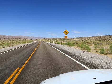
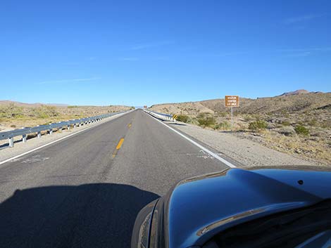
 Approaching Mormon Well Road, on the left (view N) |
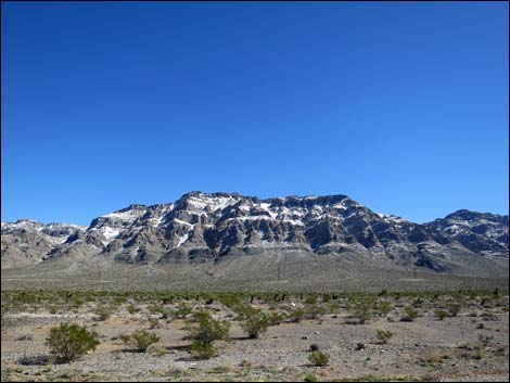 Arrow Canyon Range with snow (view E) |
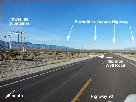 Approaching Mormon Well Road, on the left (view N) |
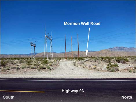 Hwy 93 at Mormon Well Road (view N) |
 Highway 93 continues north (view N) |
 Approaching intersection with Highway 168 (view N) |
 Sign: Junction with Highway 168 (view N) |
 Sign: Directions to Alamo and Glendale (view N) |
 Approaching sign for highway intersection directions (view N) |
 Sign: Directions to Highway 93 and Highway 168 (view N) |
 Sign: Directions to Highway 93 and Highway 168 (view N) |
 Highway 93 at Highway 168 (view N) |
 Highway 168 (view E from Highway 93) |
 Clark-Lincoln County Line (view N) Clark-Lincoln County Line (view N) |
 Approaching Kane Springs Road (to Elgin; view N) |
 Hwy 93 at Kane Springs Road (view N) |
 Western Elite Landfill on the left (view W) |
 Western Elite Landfill on the left (view W) |
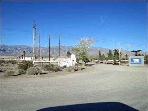 Entrance to Western Elite Landfill on the left (view W) |
 Western Elite Landfill, white horse statue on the left (view W) |
 Approaching historical marker, on the right (view N) |
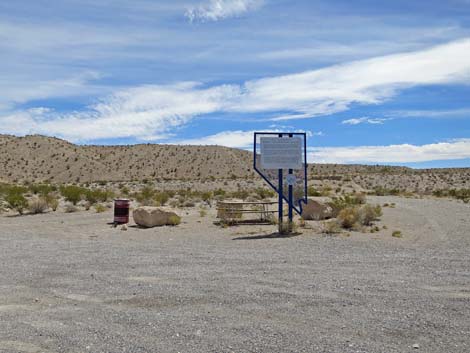 Historical marker with picnic table and trash can (view E) Historical marker with picnic table and trash can (view E) |
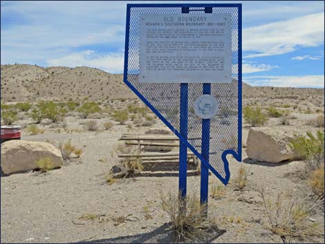 Historical marker (view E) |
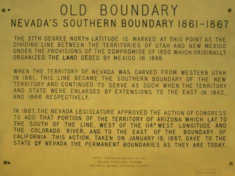 Text of historical marker (yellow makes it easier to read; view E) |
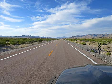 Highway 93 (view N) |
 |
 |
 |
 |
 Approaching Pahranagat Narrows (view NW) |
 Approaching Pahranagat National Wildlife Refuge (view NW) |
 Approaching Pahranagat National Wildlife Refuge sign (view NW) |
 Pahranagat National Wildlife Refuge sign (view N from roadway) |
 Pahranagat National Wildlife Refuge sign (view NW) |
 Entering Pahranagat National Wildlife Refuge sign (view NW) |
 Highway 93 winds through Pahranagat Narrows (view NW) |
 Highway 93 winds through Pahranagat Narrows (view NW) |
 Exiting Pahranagat Narrows (view NW) |
 Highway sign with destination mileages (view NW) |
 Highway sign: 15 miles to Alamo (view NW) |
 Highway sign: Caution -- Open Range (view NW) |
 Entering Pahranagat Valley (view NW) |
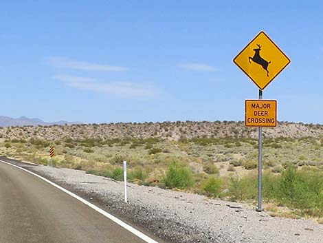
 Highway sign: Caution -- Major Deer Crossing (view NW) |
 Highway sign: Caution -- Major Deer Crossing (view NW) |
 Heading north (view N) |
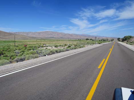
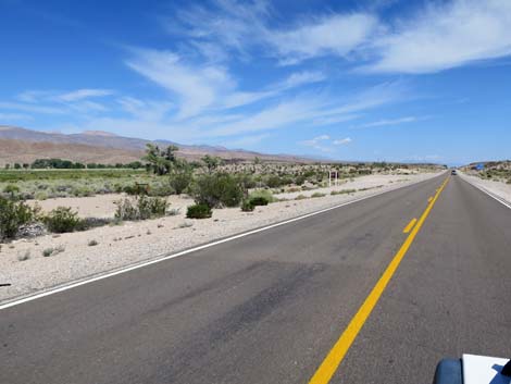
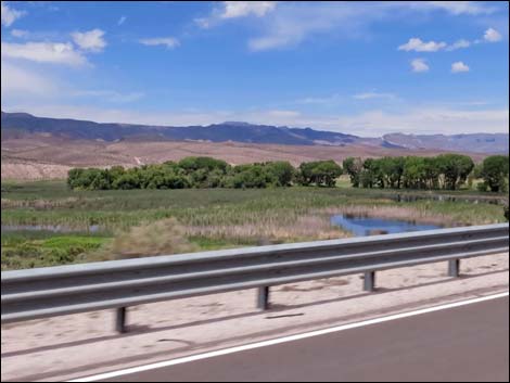
 Pahranagat Valley is long, wide, and green (view NW) |
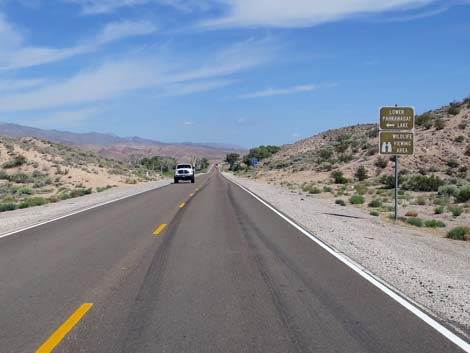
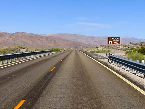 Highway sign: Wildlife Viewing Area (view NW) |
 Turnoff to Lower Lake (not the best access) |
 Heading north (view N) |
 Approaching Lower Lake (view NW) |
 Passing Lower Lake (view NW) |
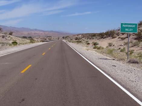 Highway sign: Entering Pahranagat Valley (view NW) |
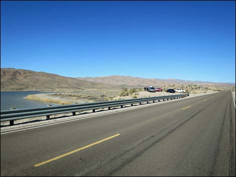 Approaching Lower Lake Overlook (view N) |
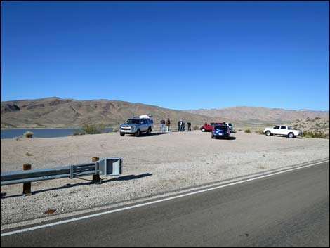 Bird watchers at Lower Lake Overlook (view N) |
 Sign announcing Lower Lake access road (view N) |
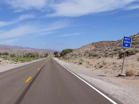 Sign announcing Roadside Rest Area (view N) |
 Approaching Lower Lake access road (view N) |
 Approaching Roadside Rest Area (view N) |
 Roadside Rest Area; usually no toilets (view N) |
 Middle Marsh (view NW) |
 Approaching Middle Marsh access road (view N) |
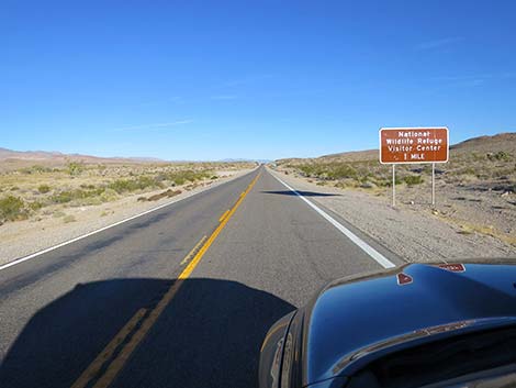 Sign announcing Pahranagat NWR Visitor Center, 1 mile (view N) |
 Middle Marsh access road (view N) |
 Sign announcing Pahranagat Visitor Center, 1/2 mile (view N) |
 Sign announcing Pahranagat Visitor Center, next left (view N) |
 Pahranagat NWR Visitor Center sign (view N) |
 The road becomes divided (view N) |
 Left turn lane for Pahranagat Visitor Center (view N) |
 Left and right turn lanes (view N) |
 Left turn lane to Pahranagat NWR Visitor Center (view N) |
 Pahranagat Visitor Center Road (view W from Highway 93) |
 Pahranagat NWR Visitor Center Road (view W from Highway 93) |
 Highway 93 continuing past Pahranagat Visitor Center Road (view N) |
 Sign: Camping 3 miles ahead at Upper Lake (view N) |
 Highway 93 return to undivided 70-mph highway (view N) |
 Approaching Badger Valley Road (view N) |
 Approaching Badger Valley Road (view N) |
 Hwy 93 at Badger Valley Road (view N) |
 Badger Valley Road (view W from Highway 93) |
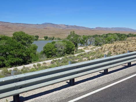
 First view of Upper Pahranagat Lake and campsite (view N) |
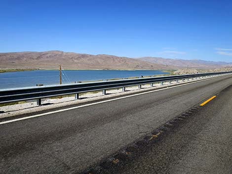
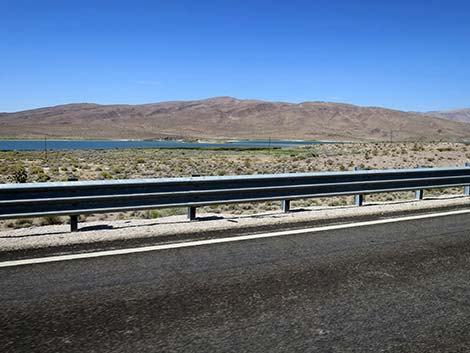
 Upper Pahranagat Lake (view NW) |
 Upper Pahranagat Lake (view N) |
 Campsite along Upper Pahranagat Lake (view NW) |
 Campsite along Upper Pahranagat Lake (view NW) |
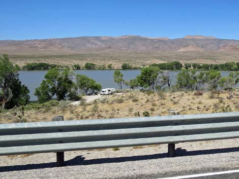 Campsite along Upper Pahranagat Lake (view W) |
 Upper Marshy at Upper Pahranagat Lake during summer (view N) |
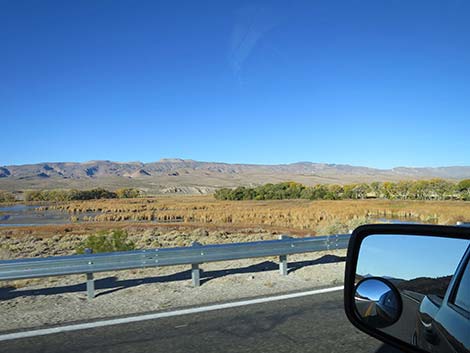 Upper Marsh at Pahranagat Lake during fall (view NW) |
 Upper Pahranagat Lake Access Road on the left (view N) |
 Highway 93 divides to make room for a left-turn lane (view N) |
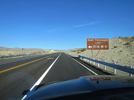 Sign: Upper Pahranagat Lake (view N) |
 Left turn lane for Upper Pahranagat Lake (view N) |
 Highway 93 return to undivided 70-mph highway (view N) |
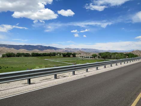 Green fields and livestock south of Alamo |
 Outskirts of Alamo: Sunset View Hotel (view N) |
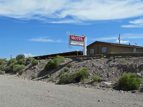 Sunset View Hotel (view NE) |
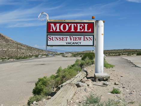 Sunset View Hotel sign (view N) |
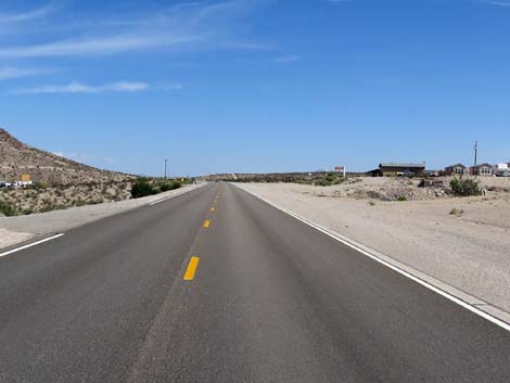
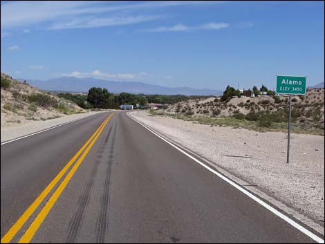 Alamo city limit sign (view N) |
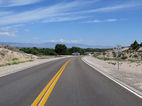 Watch the speed -- 50 mph through Alamo (view NW) |
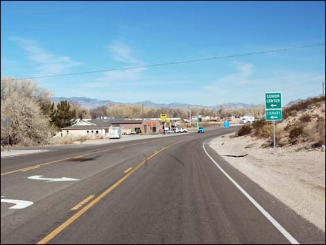 Approaching Alamo business district (view N) |
 Alamo business district (view N). Alamo Diner to the left. |
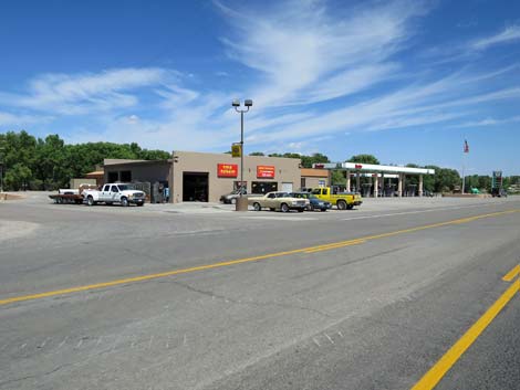
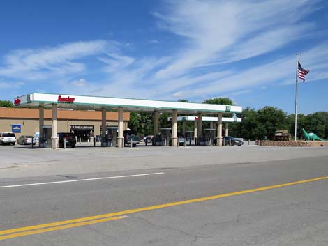 Alamo business district : gas, food, and groceries (view N) |
Happy Hiking! All distances, elevations, and other facts are approximate.
![]() ; Last updated 240930
; Last updated 240930
| Backroads | Hiking Around Las Vegas | Glossary | Copyright, Conditions, Disclaimer | Home |